Medium airport · United States

Chadron Municipal AirportKCDR

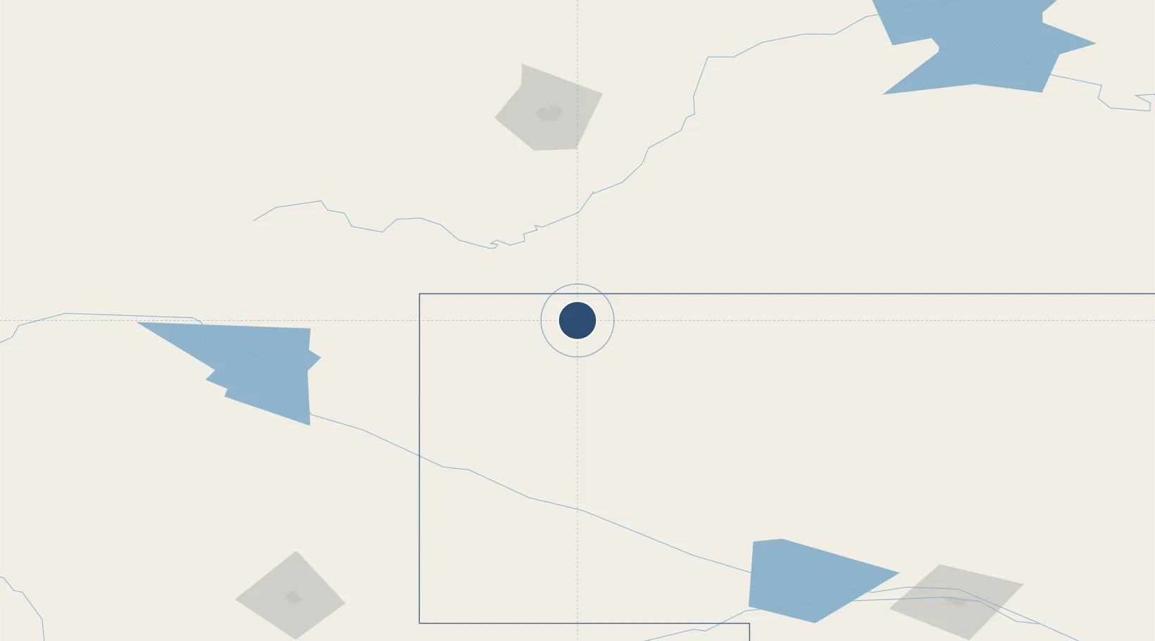
42.8376°, -103.0950°
5,998 ft
Longest runway
2
Runways
3,297 ft
Elevation

Runway & Layout

Chadron Municipal Airport runway & taxiway layout
Runway & taxiway layout — OpenStreetMap (ODbL) / OurAirports

Radio Frequencies

ASOS
118.05 MHz
CNTR
127.95 MHz
DENVER CNTR
FSS
122.5 MHz
COLUMBUS RDO
UNIC
122.8 MHz
CTAF/UNICOM
OurAirports

Runways · 2

RunwayDimensions SurfaceTrue headingLit
03/21 5,998 × 100ft Concrete 035°
12/30 4,400 × 75ft Concrete 125°
OurAirports

Airport Specifications

IATA code
CDR
OurAirports
ICAO code
KCDR
OurAirports
Airport class
Medium airport
OurAirports
Scheduled service
Yes
OurAirports
Runway surface
Concrete
OurAirports
Served city
Chadron
OurAirports

Location

Location of KCDR
Natural Earth 10m (public domain) · Nebraska · KCDR · 42.84, -103.10GoogleOSMYandex

Nearby Logistics Neighbours

Airports
  1. 1Alliance Municipal Airport91 km
  2. 2Western Neb. Rgnl/William B. Heilig Airport115 km
  3. 3Rapid City Regional Airport134 km
  4. 4Ellsworth Air Force Base145 km
  5. 5Sidney Municipal Airport Lloyd W Carr Field193 km
Nearest neighbours — logibook spatial index (haversine) over the source coordinates
Cities
  1. 1Custer111 km
  2. 2Hill City128 km
  3. 3Ellsworth Air Force Base144 km
  4. 4Guernsey150 km
  5. 5Lead177 km
Nearest neighbours — logibook spatial index (haversine) over the source coordinates
Ports
  1. 1Duluth970 km
  2. 2Superior971 km
  3. 3Two Harbors1012 km
  4. 4Ashland1051 km
  5. 5Washburn1053 km
Nearest neighbours — logibook spatial index (haversine) over the source coordinates
Trade Zones
  1. 1FTZ No. 123 Denver379 km
  2. 2FTZ No. 298 Jefferson County385 km
  3. 3FTZ No. 293 Limon401 km
  4. 4FTZ No. 112 Colorado Springs468 km
  5. 5FTZ No. 220 Sioux Falls517 km
Nearest neighbours — logibook spatial index (haversine) over the source coordinates
DatabookThe Record of Consolidated Knowledge
United States beyond logistics?
Browse databook

All Sources

AirportsOurAirports
Public domain
Portsthe NGA World Port Index
Public domain (US gov)
LocationsUN/LOCODE
UN/LOCODE — free
Trade Zonesthe World Bank SEZ database
CC BY 4.0
Trade ZonesOpen Zone Map
CC BY
InfrastructureOpenStreetMap
ODbL 1.0
← United States airports