Medium airport · Ethiopia
Gambela AirportHAGM
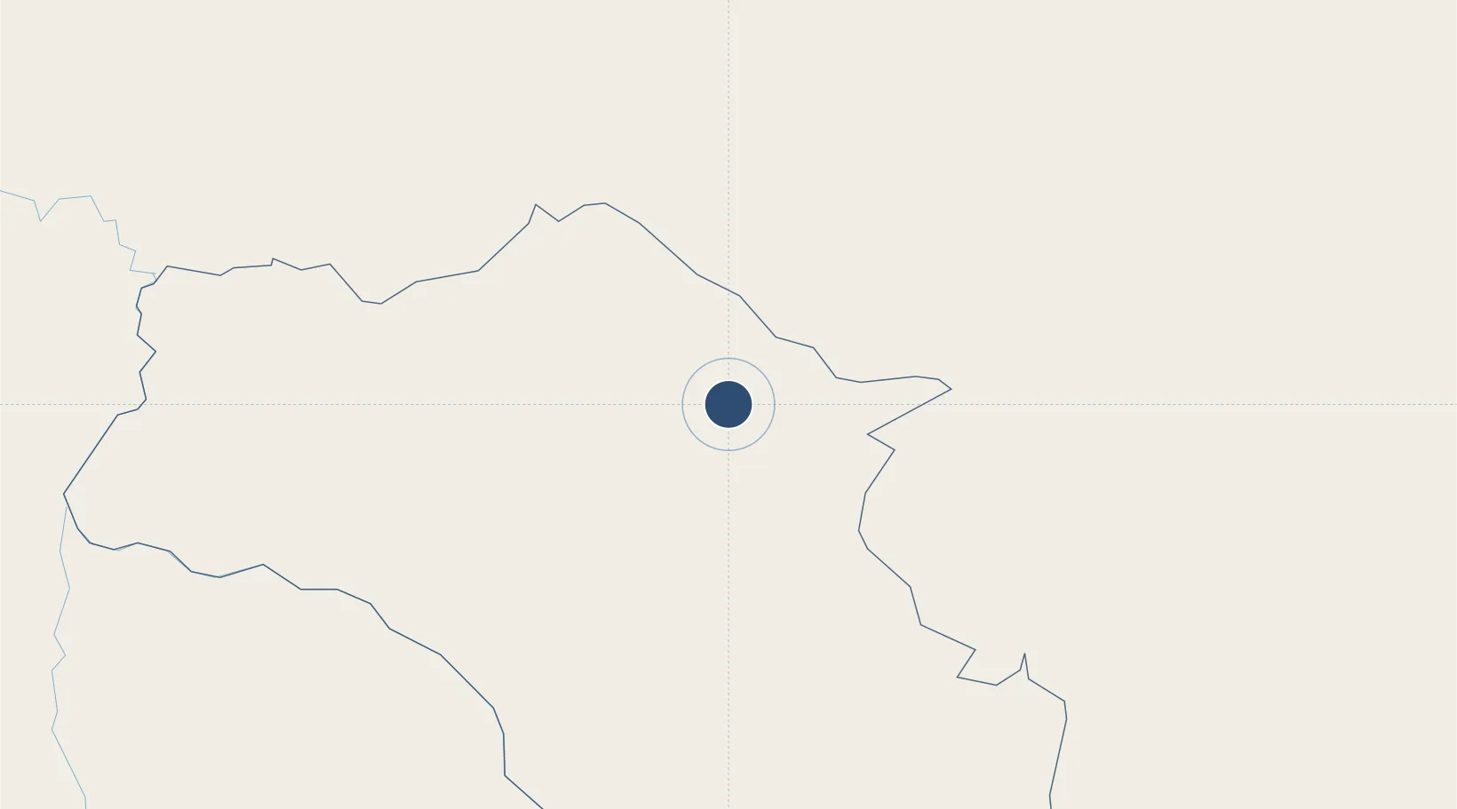
8.1288°, 34.5631°
8,248 ft
Longest runway
1
Runways
1,614 ft
Elevation
Runway & Layout

Radio Frequencies
TWR
118.7 MHz
GND
121.9 MHz
Navaids
BR NDB Gambella 450 kHz
GM NDB Gambella 300 kHz
Runways · 1
| Runway | Dimensions | Surface | True heading | Lit |
|---|---|---|---|---|
| 18/36 | 8,248 × 148ft | Concrete | 180° | — |
Airport Specifications
IATA code
GMB
ICAO code
HAGM
Airport class
Medium airport
Scheduled service
Yes
Runway surface
Concrete
Served city
Gambela
Location
Nearby Logistics Neighbours
Airports
- 1Dembidollo Airport57 km
- 2Tippi Airport139 km
- 3Mizan Teferi Airport170 km
- 4Asosa Airport210 km
- 5Jimma Airport254 km
Cities
- 1Mojo504 km
- 2Mojo Dry Port505 km
- 3Rabak593 km
- 4Moroto628 km
- 5Kembolcha733 km
Ports
- 1Mitsiwa Harbor989 km
- 2Doraleh1011 km
- 3Djibouti1015 km
- 4Assab1046 km
- 5Al Mukha1110 km
Trade Zones
DatabookThe Record of Consolidated Knowledge
Ethiopia beyond logistics?