Export Processing Zone · Ethiopia

Jimma Industrial Park Active
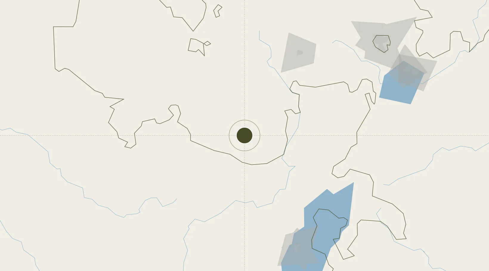
7.6439°, 36.8193°
40 ha
Zone area
816.1 km
Nearest port
2.5 km
Nearest airport

Gateway access

Nearest neighbours — logibook spatial index (haversine) over the source coordinates

Zone profile

Zone type
Export Processing Zone
Open Zone Map
Region
Oromiya
Open Zone Map
Status
Active
Open Zone Map
Management
Public-Private Partnership
Open Zone Map
Operator
Huajian Development Group
Open Zone Map
Legal framework
Regulation No 417/2017 Industrial Parks Council of Ministers Regulation
Open Zone Map

Location

Location of ozm-1902
Natural Earth 10m (public domain) · Oromiya · ozm-1902 · 7.64, 36.82GoogleOSMYandex

Nearby Logistics Neighbours

Ports
  1. 1Doraleh816 km
  2. 2Djibouti820 km
  3. 3Assab881 km
  4. 4Mitsiwa Harbor932 km
  5. 5Al Mukha944 km
Nearest neighbours — logibook spatial index (haversine) over the source coordinates
Airports
  1. 1Jimma Airport3 km
  2. 2Mizan Teferi Airport159 km
  3. 3Tippi Airport162 km
  4. 4Hawassa International Airport184 km
  5. 5Arba Minch Airport198 km
Nearest neighbours — logibook spatial index (haversine) over the source coordinates
Cities
  1. 1Mojo274 km
  2. 2Mojo Dry Port275 km
  3. 3Kembolcha481 km
  4. 4Moroto621 km
  5. 5Dubti652 km
Nearest neighbours — logibook spatial index (haversine) over the source coordinates
Trade Zones
  1. 1Hawassa Industrial Development Zone196 km
  2. 2Ayki Addis Industrial Development Zone248 km
  3. 3Hujian Industrial Development Zone253 km
  4. 4Kilinto Industrial Development Zone260 km
  5. 5Addis Industrial Village Industrial Development Zone260 km
Nearest neighbours — logibook spatial index (haversine) over the source coordinates
DatabookThe Record of Consolidated Knowledge
Ethiopia beyond logistics?
Browse databook

All Sources

Trade ZonesOpen Zone Map
CC BY
Portsthe NGA World Port Index
Public domain (US gov)
AirportsOurAirports
Public domain
LocationsUN/LOCODE
UN/LOCODE — free
← Ethiopia trade zones