Transport Functions
Port
Multimodal
Hub Profile
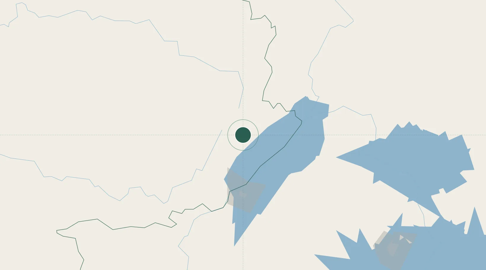
Place type
Regional capital
Region
Eastern Province
Population
47,203
Time zone
Africa/Kigali
Elevation
1,537 m
Location
Nearby Logistics Neighbours
Airports
- 1Bunia Airport49 km
- 2Arua Airport133 km
- 3Gulu Airport225 km
- 4Savannah Airstrip308 km
- 5Entebbe International Airport308 km
Trade Zones
- 1Buliisa Industrial Park112 km
- 2Hoima Industrial Park116 km
- 3Arua Special Economic Zone125 km
- 4Mubende Industrial Park189 km
- 5Kasese Industrial Park204 km
DatabookThe Record of Consolidated Knowledge
Rwanda beyond logistics?