Specialized Zone · South Sudan

Juba Specialised Economic Zone Under Development
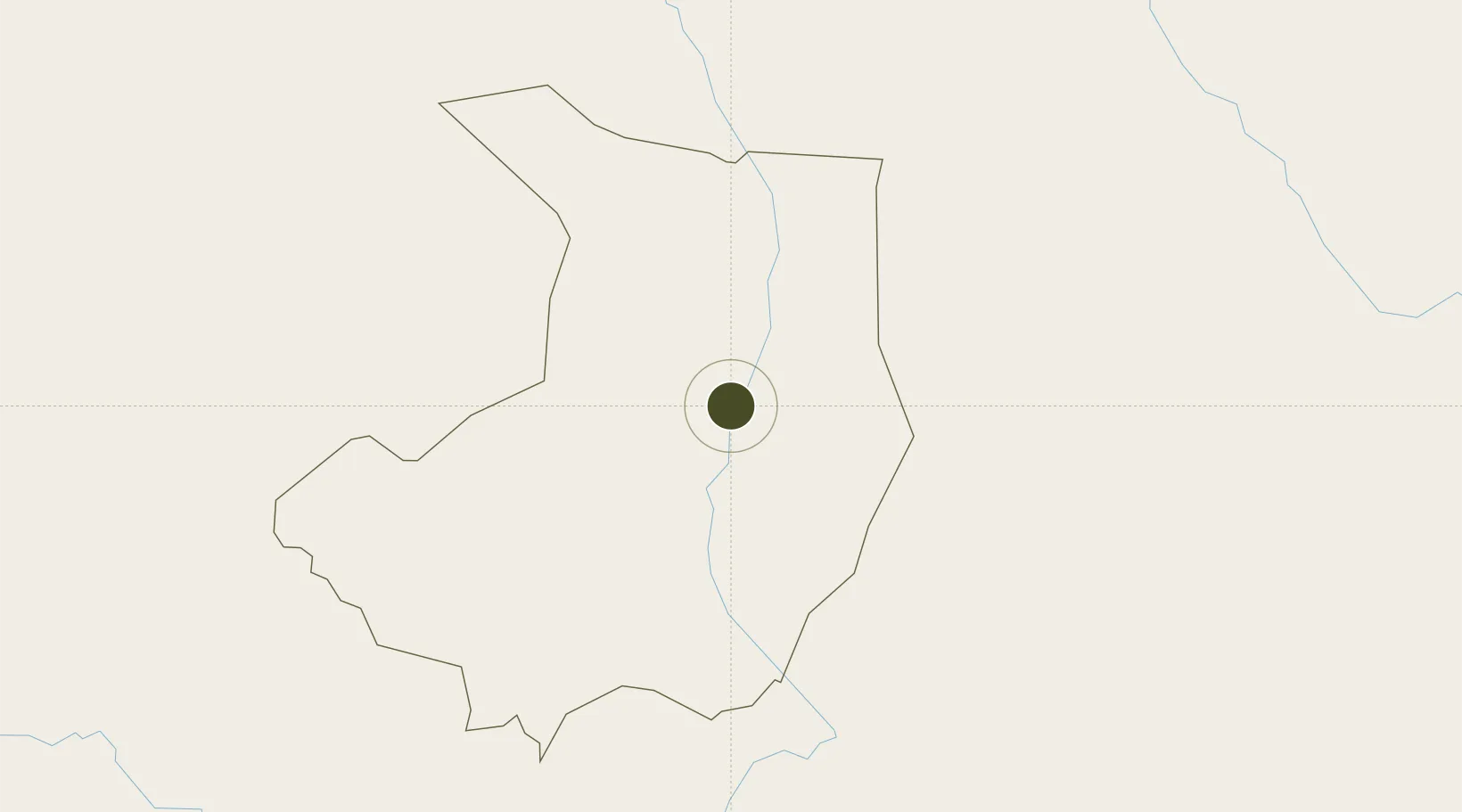
4.9105°, 31.6025°
105 ha
Zone area
1,305.3 km
Nearest port
4.3 km
Nearest airport

Gateway access

Nearest neighbours — logibook spatial index (haversine) over the source coordinates

Zone profile

Zone type
Specialized Zone
Open Zone Map
Specialization
Agriculture
Open Zone Map
Region
Central Equatoria
Open Zone Map
Status
Under Development
Open Zone Map
Management
Private
Open Zone Map

Location

Location of ozm-4312
Natural Earth 10m (public domain) · Central Equatoria · ozm-4312 · 4.91, 31.60GoogleOSMYandex

Nearby Logistics Neighbours

Ports
  1. 1Lamu1305 km
  2. 2Malindi1310 km
  3. 3Kilifi1321 km
  4. 4Mombasa1341 km
  5. 5Kismaayo1350 km
Nearest neighbours — logibook spatial index (haversine) over the source coordinates
Airports
  1. 1Juba International Airport4 km
  2. 2Arua Airport221 km
  3. 3Gulu Airport246 km
  4. 4Lokichogio Airport314 km
  5. 5Bunia Airport402 km
Nearest neighbours — logibook spatial index (haversine) over the source coordinates
Cities
  1. 1Rwamagana354 km
  2. 2Galiraya425 km
  3. 3Moroto434 km
  4. 4Mukono523 km
  5. 5Malaba562 km
Nearest neighbours — logibook spatial index (haversine) over the source coordinates
Trade Zones
  1. 1Arua Special Economic Zone229 km
  2. 2Gulu Industrial Park249 km
  3. 3Buliisa Industrial Park312 km
  4. 4Lira Industrial Park330 km
  5. 5Hoima Industrial Park387 km
Nearest neighbours — logibook spatial index (haversine) over the source coordinates
DatabookThe Record of Consolidated Knowledge
South Sudan beyond logistics?
Browse databook

All Sources

Trade ZonesOpen Zone Map
CC BY
Portsthe NGA World Port Index
Public domain (US gov)
AirportsOurAirports
Public domain
LocationsUN/LOCODE
UN/LOCODE — free
← South Sudan trade zones