Small airport · Ethiopia

Dembidollo AirportHADD
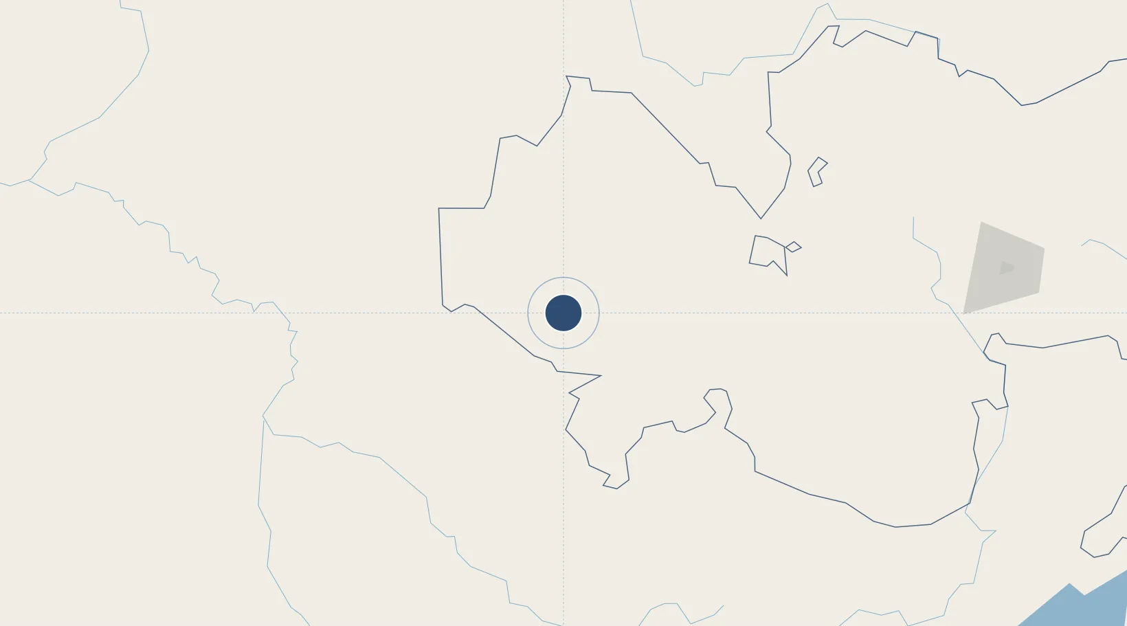
8.5540°, 34.8580°
6,139 ft
Longest runway
1
Runways
5,200 ft
Elevation

Runway & Layout

Dembidollo Airport runway & taxiway layout
Runway & taxiway layout — OpenStreetMap (ODbL) / OurAirports

Runways · 1

RunwayDimensions SurfaceTrue headingLit
15/33 6,139 × 98ft Asphalt 145°
OurAirports

Airport Specifications

IATA code
DEM
OurAirports
ICAO code
HADD
OurAirports
Airport class
Small airport
OurAirports
Scheduled service
Yes
OurAirports
Runway surface
Asphalt
OurAirports
Served city
Dembidollo
OurAirports

Location

Location of HADD
Natural Earth 10m (public domain) · Oromiya · HADD · 8.55, 34.86GoogleOSMYandex

Nearby Logistics Neighbours

Airports
  1. 1Gambela Airport57 km
  2. 2Tippi Airport162 km
  3. 3Asosa Airport166 km
  4. 4Mizan Teferi Airport193 km
  5. 5Jimma Airport237 km
Nearest neighbours — logibook spatial index (haversine) over the source coordinates
Cities
  1. 1Mojo468 km
  2. 2Mojo Dry Port470 km
  3. 3Rabak561 km
  4. 4Moroto675 km
  5. 5Kembolcha706 km
Nearest neighbours — logibook spatial index (haversine) over the source coordinates
Ports
  1. 1Mitsiwa Harbor931 km
  2. 2Doraleh963 km
  3. 3Djibouti967 km
  4. 4Assab994 km
  5. 5Al Mukha1058 km
Nearest neighbours — logibook spatial index (haversine) over the source coordinates
Trade Zones
  1. 1Jimma Industrial Park239 km
  2. 2Ayki Addis Industrial Development Zone420 km
  3. 3Hujian Industrial Development Zone425 km
  4. 4Bahir Dar Industrial Park430 km
  5. 5Addis Industrial Village Industrial Development Zone434 km
Nearest neighbours — logibook spatial index (haversine) over the source coordinates
DatabookThe Record of Consolidated Knowledge
Ethiopia beyond logistics?
Browse databook

All Sources

AirportsOurAirports
Public domain
Portsthe NGA World Port Index
Public domain (US gov)
LocationsUN/LOCODE
UN/LOCODE — free
Trade Zonesthe World Bank SEZ database
CC BY 4.0
Trade ZonesOpen Zone Map
CC BY
← Ethiopia airports