Small airport · Somalia
Galcaio AirportHCMR
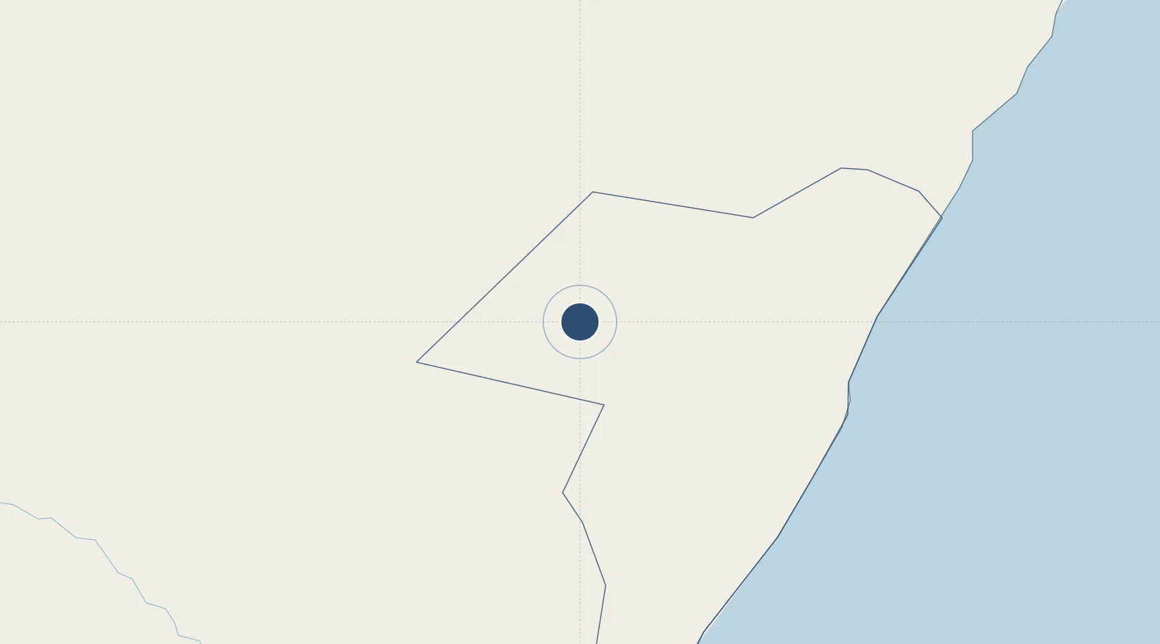
6.7808°, 47.4547°
9,859 ft
Longest runway
2
Runways
975 ft
Elevation
Runway & Layout

Runways · 2
| Runway | Dimensions | Surface | True heading | Lit |
|---|---|---|---|---|
| 05L/23R | 9,859 × —ft | Asphalt | — | — |
| 05R/23L | 9,859 × —ft | Turf | — | — |
Airport Specifications
IATA code
GLK
ICAO code
HCMR
Airport class
Small airport
Scheduled service
Yes
Runway surface
Asphalt
Served city
Galcaio
Location
Nearby Logistics Neighbours
Airports
- 1Garowe Airport223 km
- 2Shilavo Airport307 km
- 3Beledweyne Airport332 km
- 4Kebri Dahar Airport355 km
- 5Gode Airport439 km
Trade Zones
DatabookThe Record of Consolidated Knowledge
Somalia beyond logistics?