Medium airport · Ethiopia

Kebri Dahar AirportHAKD
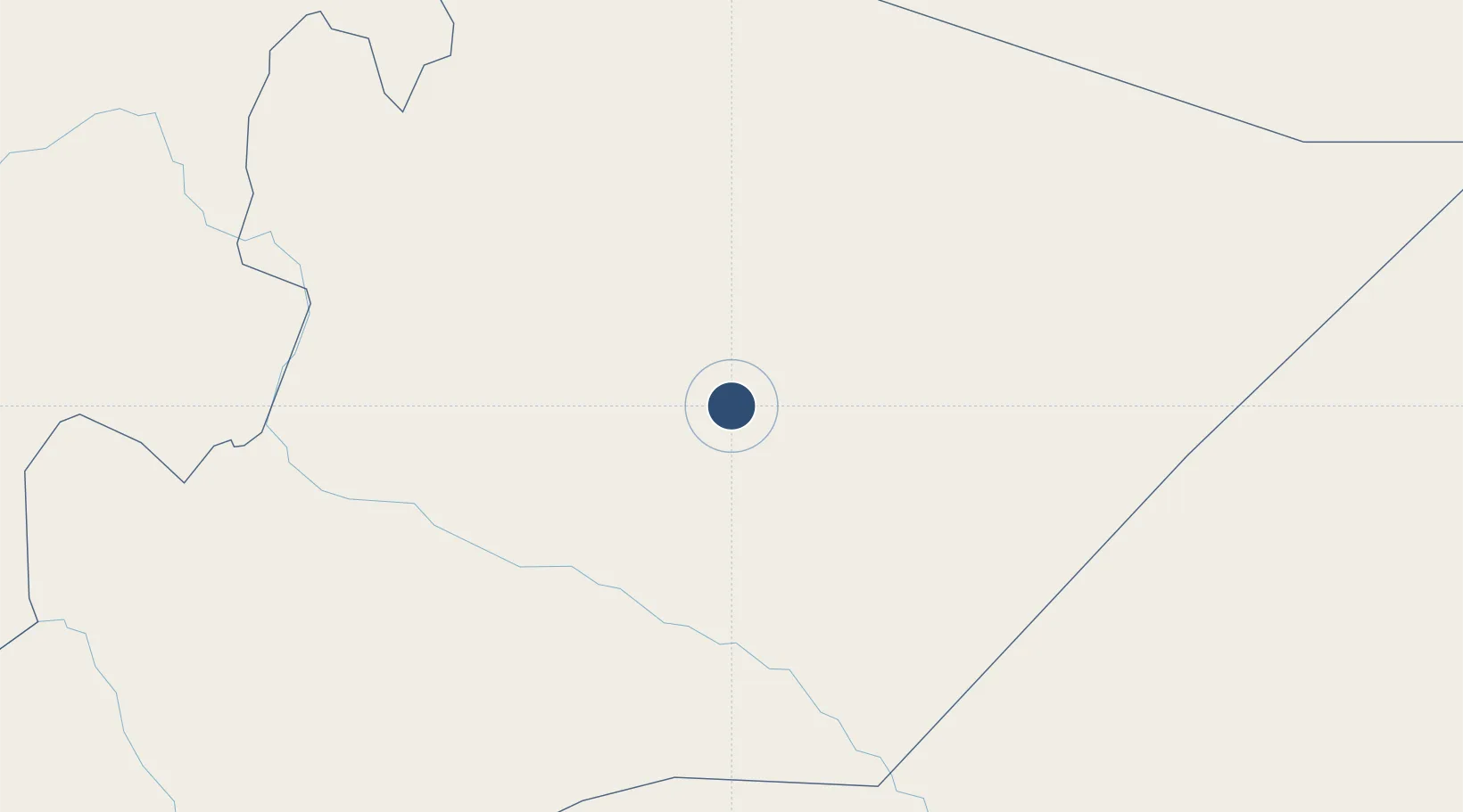
6.7326°, 44.2413°
8,202 ft
Longest runway
1
Runways
1,800 ft
Elevation

Runway & Layout

Kebri Dahar Airport runway & taxiway layout
Runway & taxiway layout — OpenStreetMap (ODbL) / OurAirports

Runways · 1

RunwayDimensions SurfaceTrue headingLit
08/26 8,202 × —ft Concrete
OurAirports

Airport Specifications

IATA code
ABK
OurAirports
ICAO code
HAKD
OurAirports
Airport class
Medium airport
OurAirports
Scheduled service
Yes
OurAirports
Runway surface
Concrete
OurAirports
Served city
Kebri Dahar
OurAirports

Location

Location of HAKD
Natural Earth 10m (public domain) · Somali · HAKD · 6.73, 44.24GoogleOSMYandex

Nearby Logistics Neighbours

Airports
  1. 1Shilavo Airport93 km
  2. 2Gode Airport115 km
  3. 3Beledweyne Airport245 km
  4. 4Egal International Airport310 km
  5. 5Gerad Wilwal International Airport324 km
Nearest neighbours — logibook spatial index (haversine) over the source coordinates
Cities
  1. 1Kembolcha348 km
  2. 2Berbera420 km
  3. 3Giohar463 km
  4. 4El Maan530 km
  5. 5Mogadishu537 km
Nearest neighbours — logibook spatial index (haversine) over the source coordinates
Ports
  1. 1Berbera422 km
  2. 2Muqdisho537 km
  3. 3Djibouti555 km
  4. 4Doraleh556 km
  5. 5Marka561 km
Nearest neighbours — logibook spatial index (haversine) over the source coordinates
Trade Zones
  1. 1CCECC Dire Dawa Industrial Park411 km
  2. 2Dire Dawi Industrial Development Zone419 km
  3. 3Berbera Economic Free Zone420 km
  4. 4Damerjog Industrial Development Free Zone539 km
  5. 5Touchroad Djibouti Special Economic Zone553 km
Nearest neighbours — logibook spatial index (haversine) over the source coordinates
DatabookThe Record of Consolidated Knowledge
Ethiopia beyond logistics?
Browse databook

All Sources

AirportsOurAirports
Public domain
Portsthe NGA World Port Index
Public domain (US gov)
LocationsUN/LOCODE
UN/LOCODE — free
Trade Zonesthe World Bank SEZ database
CC BY 4.0
Trade ZonesOpen Zone Map
CC BY
InfrastructureOpenStreetMap
ODbL 1.0
← Ethiopia airports