Channel & Berth Profile
Pilotage, Tugs & Services
Pilotage availableYES
Facilities & Capabilities
Container—
Ro-Ro—
Liquid bulk—
Dry bulk—
Oil terminal—
Break bulk—
Dry dock—
Repairs—
Bunkering—
Rail link—
Dangerous cargo—
ISPS security—
Harbour Specifications
Harbour size
Small
Harbour type
Coastal (Breakwater)
Water body
Gulf of Aden; Indian Ocean
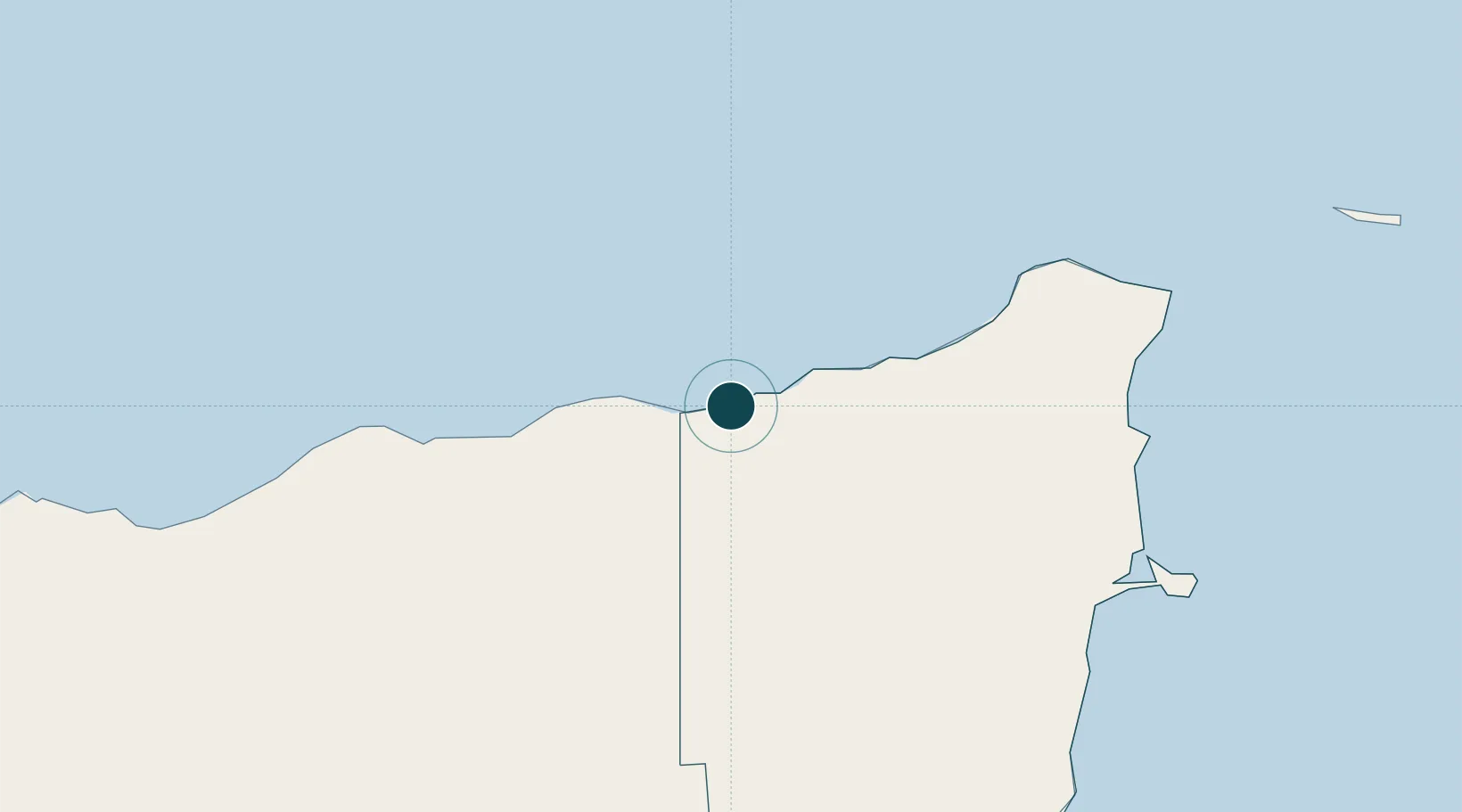
Location
Nearby Logistics Neighbours
Ports
- 1Balhaf318 km
- 2Al Mukalla360 km
- 3Ash Shihr Oil Terminal381 km
- 4Berbera464 km
- 5Aden490 km
Cities
- 1Habaching106 km
- 2Al Mukalla360 km
- 3Mukalla360 km
- 4Berbera467 km
- 5'Adan481 km
Airports
- 1Bender Qassim International Airport5 km
- 2Garowe Airport321 km
- 3Riyan International Airport376 km
- 4Ataq Airport444 km
- 5Berbera Airport474 km
Trade Zones
- 1Berbera Economic Free Zone467 km
- 2Aden Free Zone488 km
- 3Damerjog Industrial Development Free Zone649 km
- 4Djibouti Free Zone661 km
- 5Touchroad Djibouti Special Economic Zone662 km
DatabookThe Record of Consolidated Knowledge
Somalia beyond logistics?