Transport Functions
Multimodal
Hub Profile
Place type
Populated place
Region
Bavaria
Time zone
Europe/Berlin
Elevation
671 m
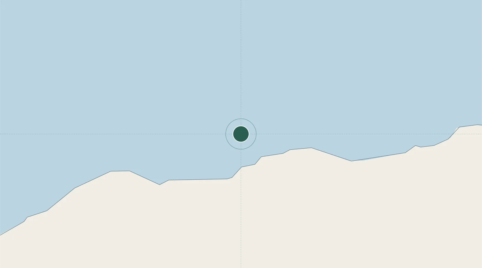
Location
Nearby Logistics Neighbours
Cities
- 1Al Mukalla358 km
- 2Mukalla360 km
- 3Berbera368 km
- 4'Adan377 km
- 5Aden382 km
Ports
- 1Boosaaso106 km
- 2Balhaf284 km
- 3Al Mukalla358 km
- 4Berbera366 km
- 5Aden386 km
Airports
- 1Bender Qassim International Airport102 km
- 2Garowe Airport331 km
- 3Berbera Airport376 km
- 4Ataq Airport380 km
- 5Aden International Airport380 km
Trade Zones
- 1Berbera Economic Free Zone368 km
- 2Aden Free Zone385 km
- 3Damerjog Industrial Development Free Zone543 km
- 4Djibouti Free Zone555 km
- 5Touchroad Djibouti Special Economic Zone556 km
DatabookThe Record of Consolidated Knowledge
Germany beyond logistics?