Large airport · Ethiopia

Aba Tenna Dejazmach Yilma International AirportHADR
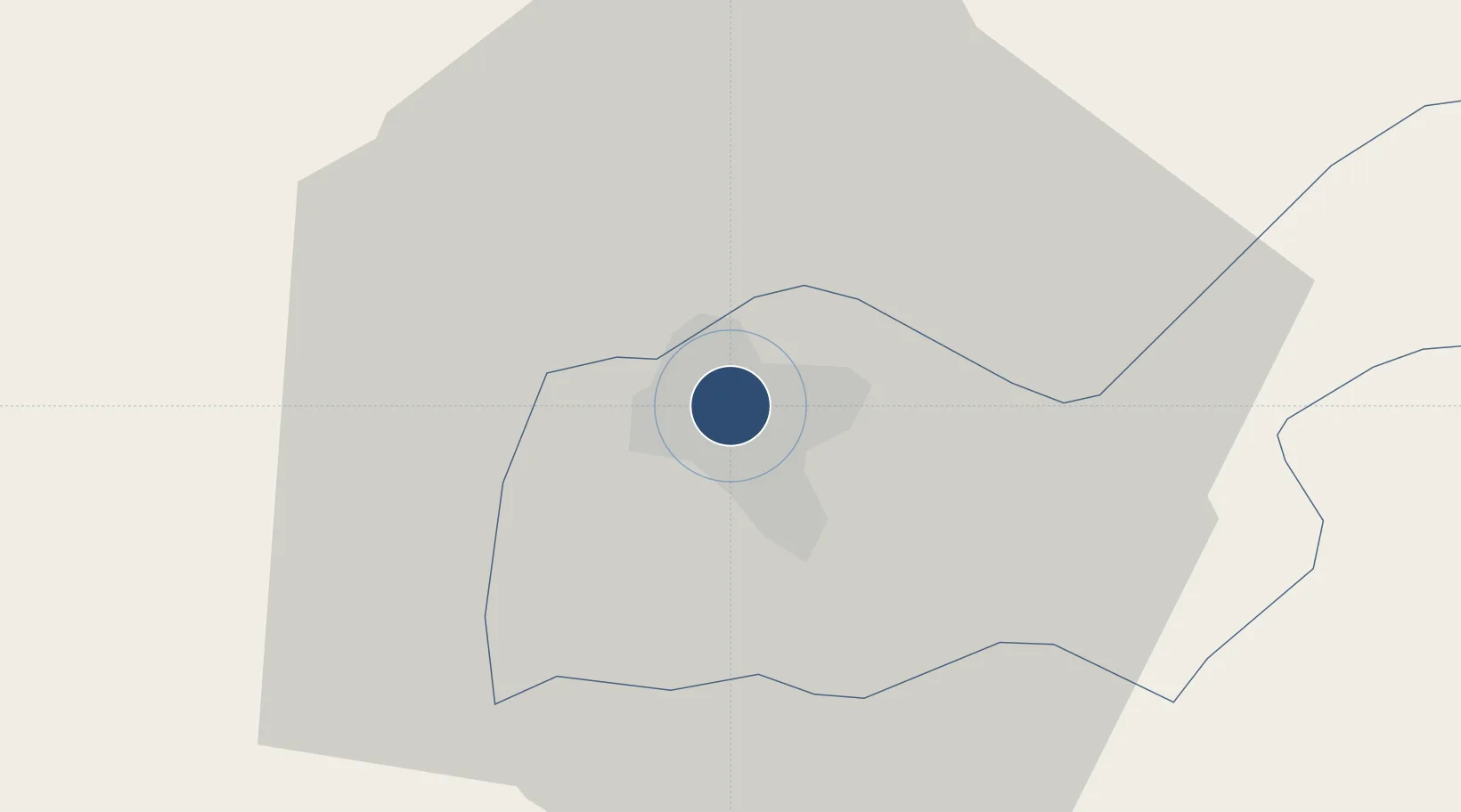
9.6235°, 41.8550°
8,791 ft
Longest runway
1
Runways
3,827 ft
Elevation

Runway & Layout

Aba Tenna Dejazmach Yilma International Airport runway & taxiway layout
Runway & taxiway layout — OpenStreetMap (ODbL) / OurAirports

Radio Frequencies

TWR
118.3 MHz
GND
121.9 MHz
APP
120.1 MHz
OurAirports

Navaids

AY NDB Dire Dawa 241 kHz
DWA VOR-DME Dire Dawa 117.70 MHz
OurAirports

Runways · 1

RunwayDimensions SurfaceTrue headingLit
15/33 8,791 × 148ft Asphalt 152°
OurAirports

Airport Specifications

IATA code
DIR
OurAirports
ICAO code
HADR
OurAirports
Airport class
Large airport
OurAirports
Scheduled service
Yes
OurAirports
Runway surface
Asphalt
OurAirports
Served city
Dire Dawa
OurAirports

Location

Location of HADR
Natural Earth 10m (public domain) · Dire Dawa · HADR · 9.62, 41.86GoogleOSMYandex

Nearby Logistics Neighbours

Airports
  1. 1Gerad Wilwal International Airport120 km
  2. 2Egal International Airport245 km
  3. 3Djibouti-Ambouli Airport257 km
  4. 4Semera Airport259 km
  5. 5Kombolcha Airport286 km
Nearest neighbours — logibook spatial index (haversine) over the source coordinates
Cities
  1. 1Kembolcha247 km
  2. 2Dubti249 km
  3. 3Damerjog253 km
  4. 4Camp Lemonier254 km
  5. 5Djibouti258 km
Nearest neighbours — logibook spatial index (haversine) over the source coordinates
Ports
  1. 1Doraleh258 km
  2. 2Djibouti260 km
  3. 3Berbera358 km
  4. 4Assab388 km
  5. 5Al Mukha438 km
Nearest neighbours — logibook spatial index (haversine) over the source coordinates
Trade Zones
  1. 1CCECC Dire Dawa Industrial Park4 km
  2. 2Dire Dawi Industrial Development Zone6 km
  3. 3UKAB Holdings Free Zone256 km
  4. 4Damerjog Industrial Development Free Zone256 km
  5. 5Touchroad Djibouti Special Economic Zone258 km
Nearest neighbours — logibook spatial index (haversine) over the source coordinates
DatabookThe Record of Consolidated Knowledge
Ethiopia beyond logistics?
Browse databook

All Sources

AirportsOurAirports
Public domain
Portsthe NGA World Port Index
Public domain (US gov)
LocationsUN/LOCODE
UN/LOCODE — free
Trade Zonesthe World Bank SEZ database
CC BY 4.0
Trade ZonesOpen Zone Map
CC BY
InfrastructureOpenStreetMap
ODbL 1.0
← Ethiopia airports