Export Processing Zone · Mauritania

Bîr Oum Ghrïn Free Zone Under Development
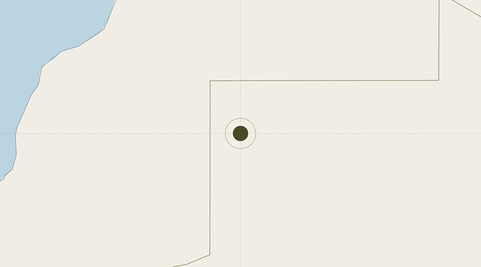
25.2269°, -11.5728°
5,000 ha
Zone area
277.7 km
Nearest port
167.7 km
Nearest airport

Gateway access

Nearest neighbours — logibook spatial index (haversine) over the source coordinates

Zone profile

Zone type
Export Processing Zone
Open Zone Map
Region
Tiris Zemmour
Open Zone Map
Status
Under Development
Open Zone Map
Management
Private
Open Zone Map
Operator
HB Bouchraya/Global Group/LOGAM
Open Zone Map
Legal framework
Law No. 001-2013 of January 2013 on Free Zones
Open Zone Map

Location

Location of ozm-2836
Natural Earth 10m (public domain) · Tiris Zemmour · ozm-2836 · 25.23, -11.57GoogleOSMYandex

Nearby Logistics Neighbours

Ports
  1. 1Laayoune278 km
  2. 2Puerto Del Rosario428 km
  3. 3Arrecife457 km
  4. 4Ad Dakhla471 km
  5. 5Las Palmas501 km
Nearest neighbours — logibook spatial index (haversine) over the source coordinates
Airports
  1. 1Smara Airport168 km
  2. 2Laayoune Hassan I International Airport269 km
  3. 3Tazadit Airport290 km
  4. 4Tan Tan Airport360 km
  5. 5Mahbes Airbase362 km
Nearest neighbours — logibook spatial index (haversine) over the source coordinates
Cities
  1. 1Ejbei Uad el Aabd269 km
  2. 2Boujdour309 km
  3. 3Gran Tarajal410 km
  4. 4Morro del Jable417 km
  5. 5Puerto del Rosario-Fuerteventura428 km
Nearest neighbours — logibook spatial index (haversine) over the source coordinates
Trade Zones
  1. 1Zona Franca de Las Palmas de Gran Canaria502 km
  2. 2Zona Franca de Tenerife588 km
  3. 3Nouadibhou Free Zone736 km
  4. 4Omrane Sahel Industrial Zone755 km
  5. 5Sidi Bouathman Industrial Zone826 km
Nearest neighbours — logibook spatial index (haversine) over the source coordinates
DatabookThe Record of Consolidated Knowledge
Mauritania beyond logistics?
Browse databook

All Sources

Trade ZonesOpen Zone Map
CC BY
Portsthe NGA World Port Index
Public domain (US gov)
AirportsOurAirports
Public domain
LocationsUN/LOCODE
UN/LOCODE — free
← Mauritania trade zones