Seaport · Western Sahara

LaayouneMAEUN

27.0833°, -13.4333°
9.9
Port liner connectivity

Channel & Berth Profile

SEA LEVEL (CD)CHANNEL BEDCargo pier · 6.4 mAnchorage · 23.2 m
NGA World Port Index

Pilotage, Tugs & Services

Pilotage compulsoryYES
Tug assistanceYES
Potable waterNO
Garbage disposalNO
NGA World Port Index

Facilities & Capabilities

Container
Ro-Ro
Liquid bulk
Dry bulk
Oil terminal
Break bulk
Dry dock
Repairs
BunkeringNO
Rail link
Dangerous cargo
ISPS security
NGA World Port Index

Harbour Specifications

Harbour size
Very Small
NGA World Port Index
Harbour type
Coastal (Natural)
NGA World Port Index
Water body
North Atlantic Ocean
NGA World Port Index
Tidal range
2 m
NGA World Port Index
Pilotage
Yes
NGA World Port Index

Liner Connectivity

9.9
PLSCI

Port Liner Shipping Connectivity Index for Laayoune, as published by UNCTAD for the latest available quarter. Higher values indicate stronger scheduled liner-shipping integration.

Shown relative to the highest per-port PLSCI in the dataset (1,657.9).
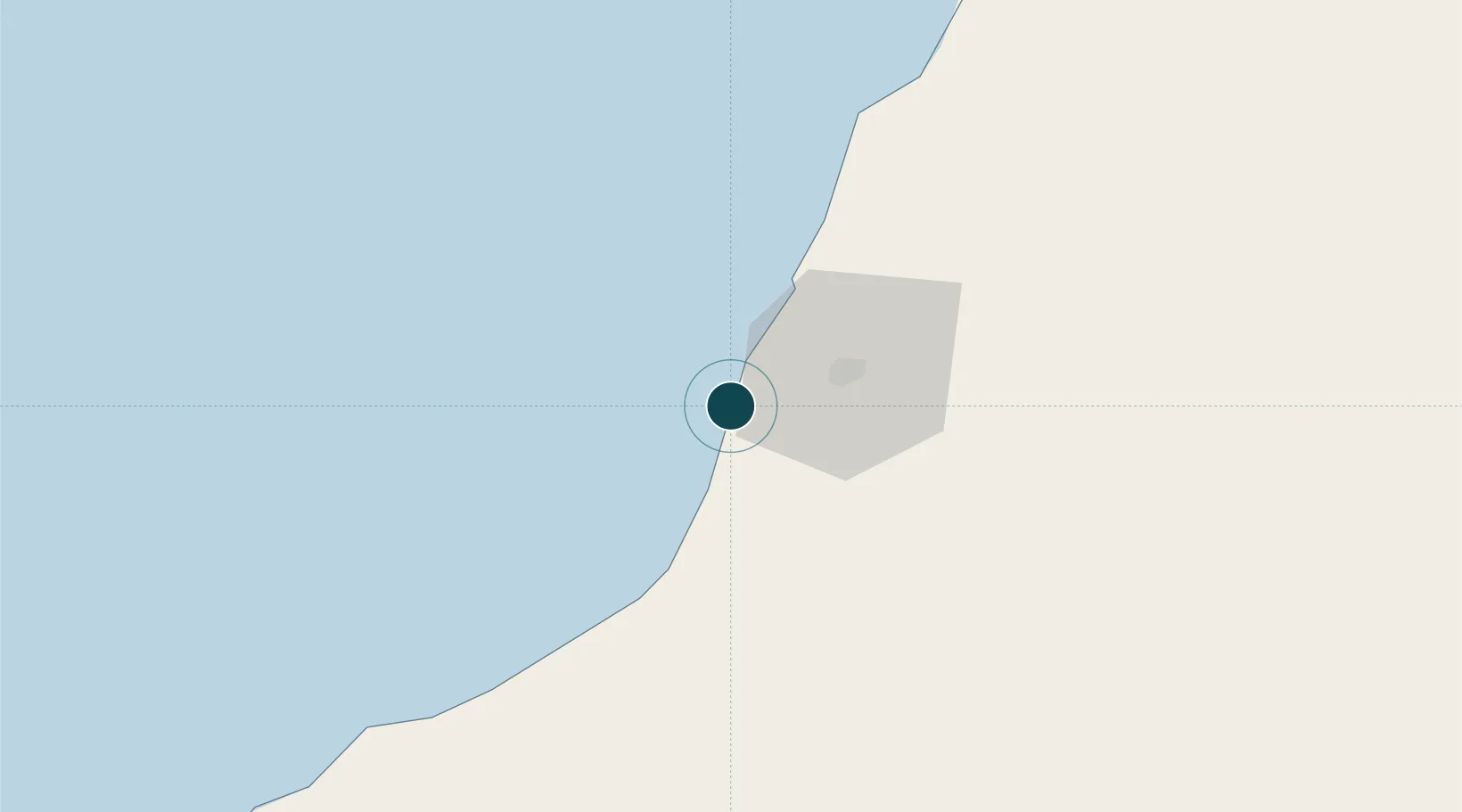
UNCTAD · Port Liner Shipping Connectivity Index

Location

Location of MAEUN
Natural Earth 10m (public domain) · Laâyoune - Boujdour - Sakia El Hamra · MAEUN · 27.08, -13.43GoogleOSMYandex

Nearby Logistics Neighbours

Ports
  1. 1Puerto Del Rosario163 km
  2. 2Arrecife208 km
  3. 3Las Palmas229 km
  4. 4Santa Cruz De Tenerife316 km
  5. 5Ad Dakhla451 km
Nearest neighbours — logibook spatial index (haversine) over the source coordinates
Cities
  1. 1Ejbei Uad el Aabd24 km
  2. 2Gran Tarajal137 km
  3. 3Morro del Jable139 km
  4. 4Boujdour149 km
  5. 5Puerto del Rosario-Fuerteventura162 km
Nearest neighbours — logibook spatial index (haversine) over the source coordinates
Airports
  1. 1Laayoune Hassan I International Airport22 km
  2. 2Fuerteventura Airport158 km
  3. 3Smara Airport178 km
  4. 4César Manrique-Lanzarote Airport208 km
  5. 5Gran Canaria Airport215 km
Nearest neighbours — logibook spatial index (haversine) over the source coordinates
Trade Zones
  1. 1Zona Franca de Las Palmas de Gran Canaria229 km
  2. 2Bîr Oum Ghrïn Free Zone278 km
  3. 3Zona Franca de Tenerife317 km
  4. 4Omrane Sahel Industrial Zone673 km
  5. 5Centro Internacional De Negocios da Madeira704 km
Nearest neighbours — logibook spatial index (haversine) over the source coordinates
DatabookThe Record of Consolidated Knowledge
Western Sahara beyond logistics?
Browse databook

All Sources

Portsthe NGA World Port Index
Public domain (US gov)
Logistics performanceUNCTAD
CC BY 3.0 IGO
AirportsOurAirports
Public domain
LocationsUN/LOCODE
UN/LOCODE — free
Trade Zonesthe World Bank SEZ database
CC BY 4.0
Trade ZonesOpen Zone Map
CC BY
← Western Sahara ports