Medium airport · Morocco
Bouarfa AirportGMFB
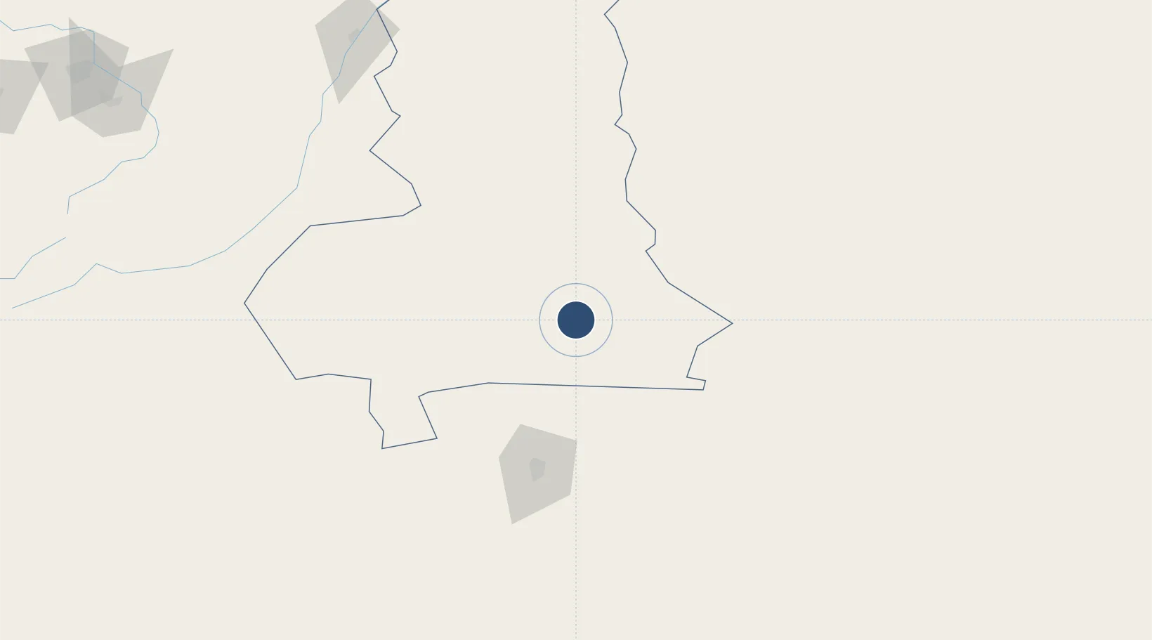
32.5143°, -1.9831°
10,499 ft
Longest runway
1
Runways
3,630 ft
Elevation
Runway & Layout

Runways · 1
| Runway | Dimensions | Surface | True heading | Lit |
|---|---|---|---|---|
| 09/27 | 10,499 × 148ft | Asphalt | — | — |
Airport Specifications
IATA code
UAR
ICAO code
GMFB
Airport class
Medium airport
Scheduled service
No
Runway surface
Asphalt
Served city
Bouarfa
Location
Nearby Logistics Neighbours
Airports
- 1Béchar Boudghene Ben Ali Lotfi Airport100 km
- 2Mecheria Airport198 km
- 3Moulay Ali Cherif Airport236 km
- 4Oujda Angads Airport253 km
- 5Zenata – Messali El Hadj Airport282 km
Cities
- 1Selouane193 km
- 2Sidi Yahia250 km
- 3Tlemcen269 km
- 4Saidia287 km
- 5Ghazaouet288 km
Ports
- 1Ghazaouet288 km
- 2Beni Saf315 km
- 3Port Nador320 km
- 4Port D Al Hoceima353 km
- 5Oran375 km
Trade Zones
- 1Berkane Agro-Pole273 km
- 2Melilla Autonomous Community321 km
- 3Nador WestMed Free Zone322 km
- 4Fès Shore Industrial Park323 km
- 5Ait Kamra Economic Activity Zone347 km
DatabookThe Record of Consolidated Knowledge
Morocco beyond logistics?