Medium airport · Morocco
Moulay Ali Cherif AirportGMFK
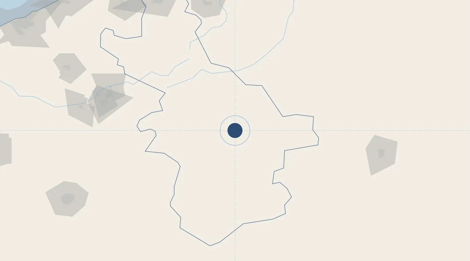
31.9475°, -4.3983°
10,499 ft
Longest runway
1
Runways
3,428 ft
Elevation
Runway & Layout

Radio Frequencies
TWR
122.7 MHz
ERRACHIDIA TWR
Navaids
ERA VOR-DME Errachidia 117.10 MHz
KSR NDB Errachidia 293 kHz
Runways · 1
| Runway | Dimensions | Surface | True heading | Lit |
|---|---|---|---|---|
| 13/31 | 10,499 × 148ft | Asphalt | 125° | ✓ |
Airport Specifications
IATA code
ERH
ICAO code
GMFK
Airport class
Medium airport
Scheduled service
Yes
Runway surface
Asphalt
Served city
Errachidia
Location
Nearby Logistics Neighbours
Airports
- 1Beni Mellal Airport187 km
- 2Béchar Boudghene Ben Ali Lotfi Airport204 km
- 3Fes Saïss International Airport227 km
- 4Zagora Airport233 km
- 5Bouarfa Airport236 km
Cities
- 1Sefrou212 km
- 2Ourika246 km
- 3Ar Rommani270 km
- 4Selouane273 km
- 5Taounate290 km
Ports
- 1Kenitra332 km
- 2Mohammedia343 km
- 3Casablanca353 km
- 4Port D Al Hoceima370 km
- 5Port Nador395 km
Trade Zones
- 1Meknès Agropolis232 km
- 2Fès Shore Industrial Park235 km
- 3Technopolis314 km
- 4Kénitra Atlantic Free Zone320 km
- 5Zona Franca Kenitra Atlantic321 km
DatabookThe Record of Consolidated Knowledge
Morocco beyond logistics?