Medium airport · Algeria
Béchar Boudghene Ben Ali Lotfi AirportDAOR
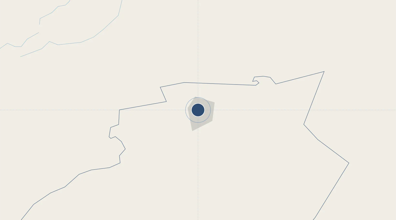
31.6457°, -2.2699°
12,245 ft
Longest runway
2
Runways
2,661 ft
Elevation
Runway & Layout

Navaids
BC NDB Bechar 417 kHz
BCR VOR-DME Bechar 113.90 MHz
Runways · 2
| Runway | Dimensions | Surface | True heading | Lit |
|---|---|---|---|---|
| 06/24 | 12,245 × 148ft | Asphalt | 060° | — |
| 18/36 | 9,840 × 148ft | Asphalt | 180° | — |
Airport Specifications
IATA code
CBH
ICAO code
DAOR
Airport class
Medium airport
Scheduled service
Yes
Runway surface
Asphalt
Served city
Béchar
Location
Nearby Logistics Neighbours
Airports
- 1Bouarfa Airport100 km
- 2Moulay Ali Cherif Airport204 km
- 3Mecheria Airport283 km
- 4Oujda Angads Airport351 km
- 5Fes Saïss International Airport358 km
Cities
- 1Selouane276 km
- 2Sefrou339 km
- 3Sidi Yahia349 km
- 4Tlemcen369 km
- 5Saidia382 km
Ports
- 1Ghazaouet386 km
- 2Port Nador409 km
- 3Beni Saf415 km
- 4Port D Al Hoceima429 km
- 5Oran476 km
Trade Zones
- 1Fès Shore Industrial Park363 km
- 2Berkane Agro-Pole368 km
- 3Meknès Agropolis385 km
- 4Nador WestMed Free Zone408 km
- 5Melilla Autonomous Community410 km
DatabookThe Record of Consolidated Knowledge
Algeria beyond logistics?