Transport Functions
Port
Road
Hub Profile
Region
ZET
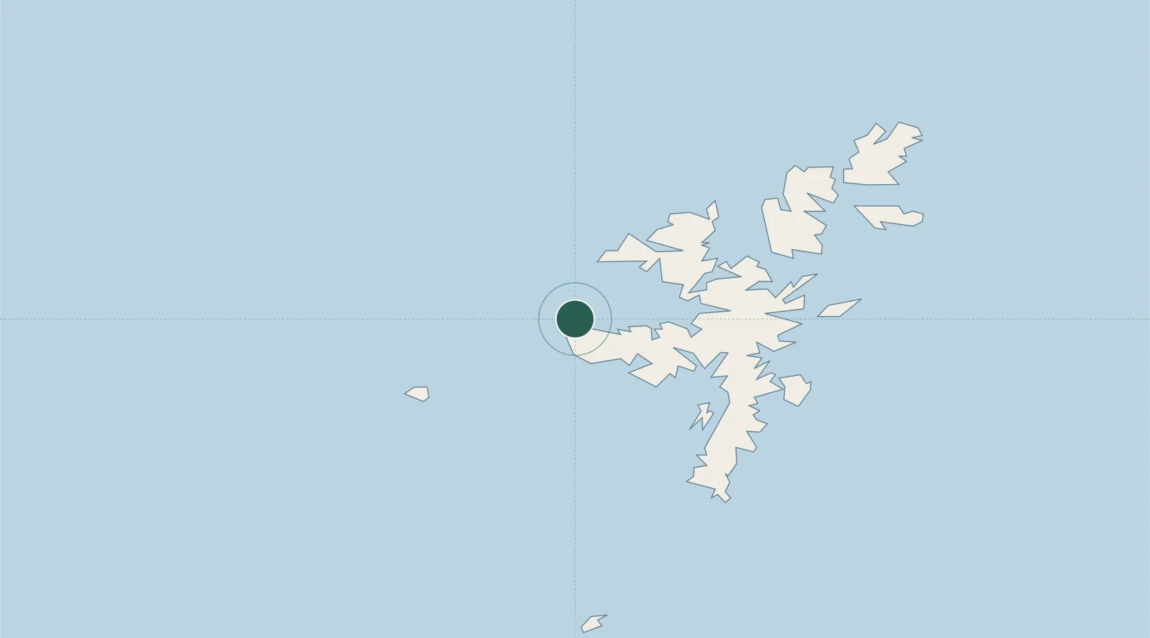
Location
Nearby Logistics Neighbours
Cities
- 1Sandness4 km
- 2West Burrafirth8 km
- 3Walls Shetland14 km
- 4Walls15 km
- 5Aith17 km
Ports
- 1Sullom Voe25 km
- 2Scalloway31 km
- 3Lerwick34 km
- 4Kettletoft133 km
- 5Pierowall135 km
Airports
- 1Lerwick / Tingwall Airport28 km
- 2Foula Airfield32 km
- 3Sumburgh Airport55 km
- 4Fair Isle Airport89 km
- 5North Ronaldsay Airport116 km
Trade Zones
DatabookThe Record of Consolidated Knowledge
United Kingdom beyond logistics?