UN/LOCODE hub · United Kingdom
GBHVO

Ham Voe, Foula

60.1333°, -2.0333°
2
Transport functions

Transport Functions

Port
Road
UN/LOCODE

Hub Profile

Region
ZET
GeoNames

Location

Location of GBHVO
Natural Earth 10m (public domain) · ZET · GBHVO · 60.13, -2.03GoogleOSMYandex

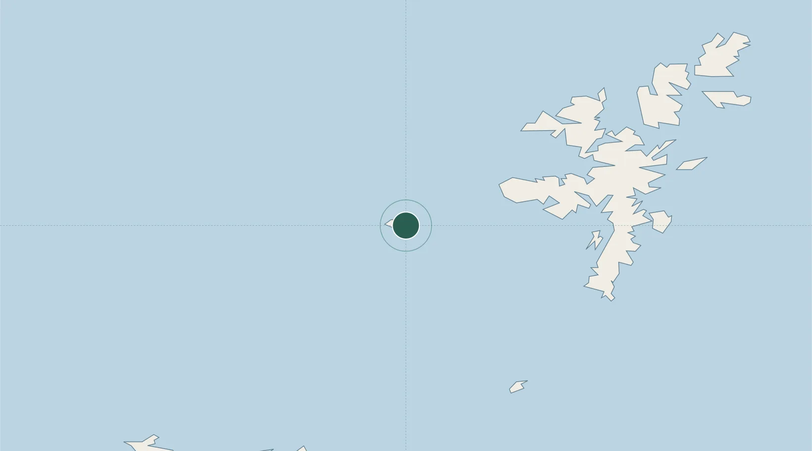
Nearby Logistics Neighbours

Cities
  1. 1Walls Shetland27 km
  2. 2Sandness28 km
  3. 3Walls28 km
  4. 4Housa Voe, Papa Stour30 km
  5. 5West Burrafirth33 km
Nearest neighbours — logibook spatial index (haversine) over the source coordinates
Ports
  1. 1Scalloway42 km
  2. 2Lerwick49 km
  3. 3Sullom Voe55 km
  4. 4Kettletoft105 km
  5. 5Pierowall105 km
Nearest neighbours — logibook spatial index (haversine) over the source coordinates
Airports
  1. 1Foula Airfield2 km
  2. 2Lerwick / Tingwall Airport44 km
  3. 3Sumburgh Airport50 km
  4. 4Fair Isle Airport70 km
  5. 5North Ronaldsay Airport88 km
Nearest neighbours — logibook spatial index (haversine) over the source coordinates
Trade Zones
  1. 1Prestwick Airport Free Zone536 km
  2. 2North Eastern Enterprise Zone575 km
  3. 3Carlisle Kingmoor Park Enterprise Zone581 km
  4. 4Tees Valley Enterprise Zone617 km
  5. 5York Central Enterprise Zone689 km
Nearest neighbours — logibook spatial index (haversine) over the source coordinates
DatabookThe Record of Consolidated Knowledge
United Kingdom beyond logistics?
Browse databook

All Sources

LocationsUN/LOCODE
UN/LOCODE — free
Portsthe NGA World Port Index
Public domain (US gov)
AirportsOurAirports
Public domain
Trade Zonesthe World Bank SEZ database
CC BY 4.0
Trade ZonesOpen Zone Map
CC BY
← United Kingdom locations