Transport Functions
Port
Road
Hub Profile
Place type
Populated place
Region
Scotland
Time zone
Europe/London
Elevation
67 m
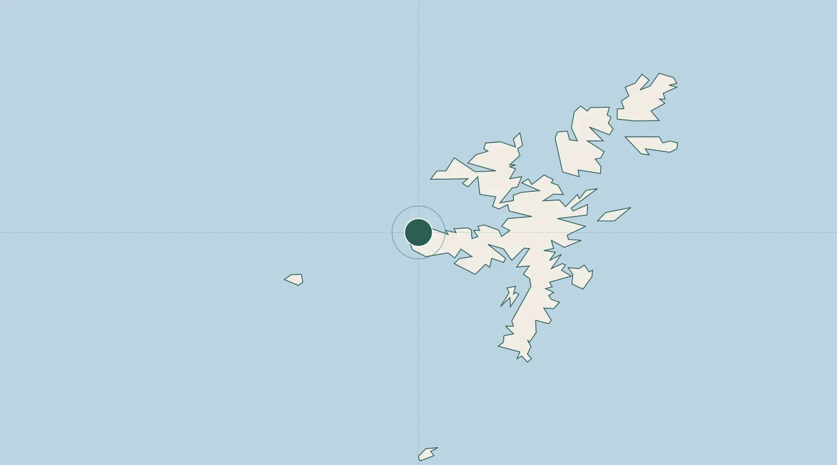
Location
Nearby Logistics Neighbours
Cities
- 1Housa Voe, Papa Stour4 km
- 2West Burrafirth6 km
- 3Walls Shetland10 km
- 4Walls11 km
- 5Aith15 km
Ports
- 1Sullom Voe27 km
- 2Scalloway28 km
- 3Lerwick31 km
- 4Kettletoft130 km
- 5Pierowall132 km
Airports
- 1Lerwick / Tingwall Airport25 km
- 2Foula Airfield30 km
- 3Sumburgh Airport51 km
- 4Fair Isle Airport85 km
- 5North Ronaldsay Airport113 km
Trade Zones
DatabookThe Record of Consolidated Knowledge
United Kingdom beyond logistics?