Transport Functions
Port
Road
Hub Profile
Region
ZET
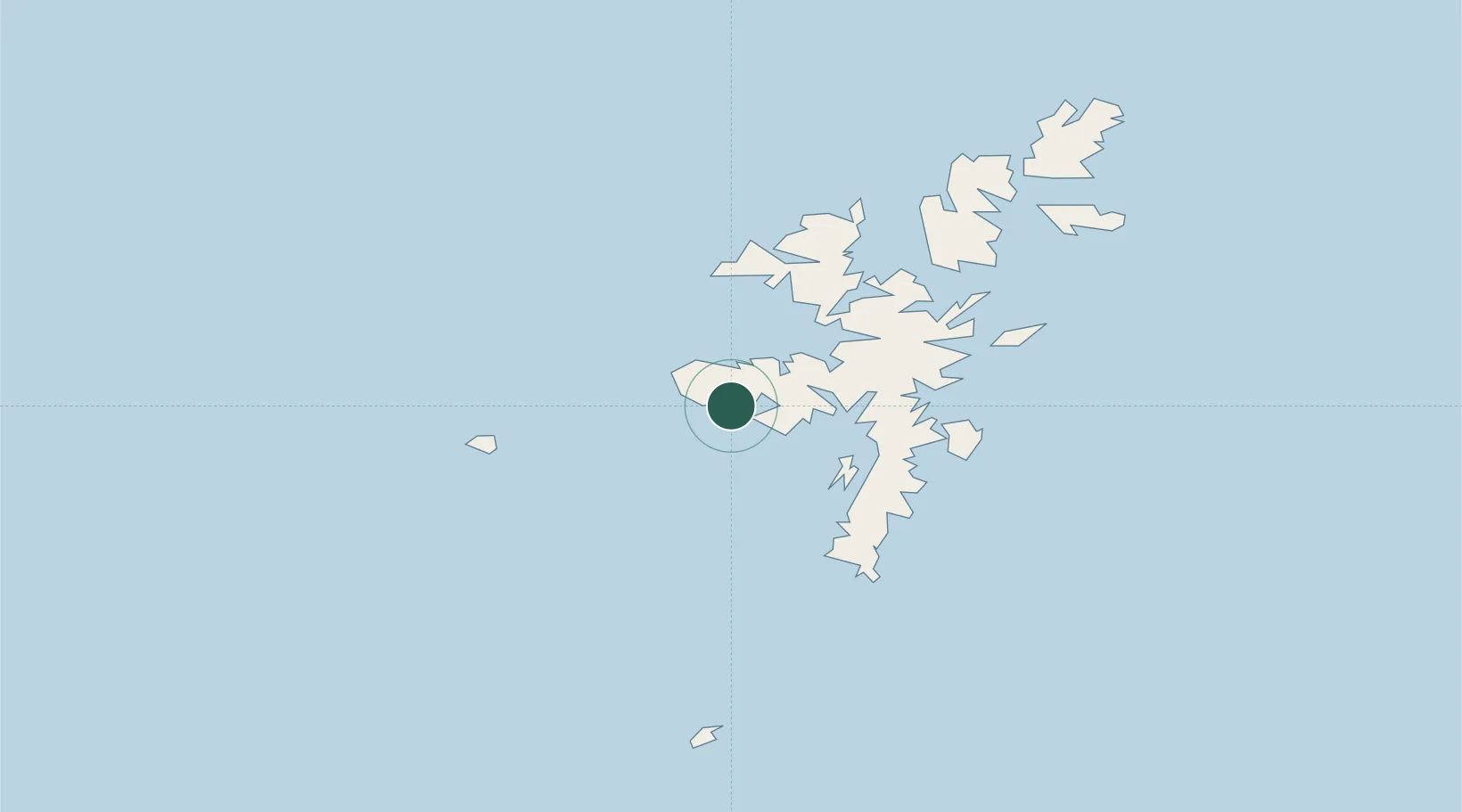
Location
Nearby Logistics Neighbours
Cities
- 1Walls1 km
- 2Skeld9 km
- 3West Burrafirth9 km
- 4Sand10 km
- 5West Mainland10 km
Ports
- 1Scalloway18 km
- 2Lerwick24 km
- 3Sullom Voe31 km
- 4Kettletoft124 km
- 5Pierowall128 km
Airports
- 1Lerwick / Tingwall Airport18 km
- 2Foula Airfield29 km
- 3Sumburgh Airport41 km
- 4Fair Isle Airport76 km
- 5North Ronaldsay Airport106 km
Trade Zones
DatabookThe Record of Consolidated Knowledge
United Kingdom beyond logistics?