Medium airport · Namibia
Tsumeb AirportFYTM
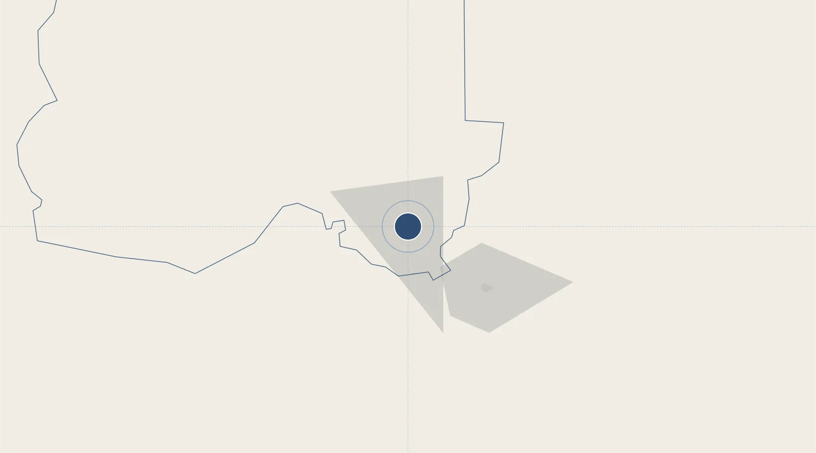
-19.2621°, 17.7325°
4,823 ft
Longest runway
1
Runways
4,353 ft
Elevation
Runway & Layout

Radio Frequencies
CTAF
124.8 MHz
Navaids
TM NDB Tsumeb 267 kHz
Runways · 1
| Runway | Dimensions | Surface | True heading | Lit |
|---|---|---|---|---|
| 12/30 | 4,823 × 56ft | Asphalt | 108° | ✓ |
Airport Specifications
IATA code
TSB
ICAO code
FYTM
Airport class
Medium airport
Scheduled service
No
Runway surface
Asphalt
Served city
Tsumeb
Location
Nearby Logistics Neighbours
Airports
- 1Grootfontein Airport56 km
- 2Halali Airport136 km
- 3Ondangwa Airport243 km
- 4Rundu Airport255 km
- 5Ngjiva Pereira Airport328 km
Cities
- 1Oshikango285 km
- 2Okahandja314 km
- 3Ruacana411 km
- 4Walvis Bay529 km
- 5Maltahohe624 km
Ports
- 1Walvis Bay530 km
- 2Namibe745 km
- 3Luderitz Bay863 km
- 4Lobito890 km
- 5Sumbe989 km
DatabookThe Record of Consolidated Knowledge
Namibia beyond logistics?