Medium airport · Namibia

Ondangwa AirportFYOA
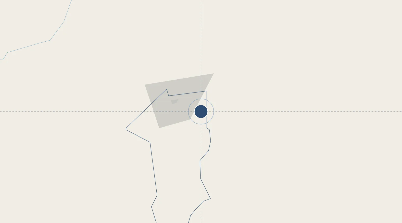
-17.8782°, 15.9526°
9,800 ft
Longest runway
2
Runways
3,599 ft
Elevation

Runway & Layout

Ondangwa Airport runway & taxiway layout
Runway & taxiway layout — OpenStreetMap (ODbL) / OurAirports

Radio Frequencies

TWR
119.7 MHz
APP
125.6 MHz
OurAirports

Navaids

OA NDB Ondangwa 382 kHz
OurAirports

Runways · 2

RunwayDimensions SurfaceTrue headingLit
08/26 9,800 × 98ft Asphalt 065°
16/34 4,423 × 98ft Gravel 149°
OurAirports

Airport Specifications

IATA code
OND
OurAirports
ICAO code
FYOA
OurAirports
Airport class
Medium airport
OurAirports
Scheduled service
Yes
OurAirports
Runway surface
Asphalt
OurAirports
Served city
Ondangwa
OurAirports

Location

Location of FYOA
Natural Earth 10m (public domain) · Oshana · FYOA · -17.88, 15.95GoogleOSMYandex

Nearby Logistics Neighbours

Airports
  1. 1Ngjiva Pereira Airport97 km
  2. 2Halali Airport139 km
  3. 3Xangongo Airport163 km
  4. 4Tsumeb Airport243 km
  5. 5Grootfontein Airport298 km
Nearest neighbours — logibook spatial index (haversine) over the source coordinates
Cities
  1. 1Oshikango54 km
  2. 2Ruacana177 km
  3. 3Okahandja468 km
  4. 4Baía dos Tigres470 km
  5. 5Porto Saco (Portosalazar)509 km
Nearest neighbours — logibook spatial index (haversine) over the source coordinates
Ports
  1. 1Namibe503 km
  2. 2Walvis Bay584 km
  3. 3Lobito668 km
  4. 4Sumbe777 km
  5. 5Porto Amboim829 km
Nearest neighbours — logibook spatial index (haversine) over the source coordinates
Trade Zones
  1. 1Walvis Bay (Nara Namib) Export Processing Zone585 km
  2. 2Catumbela Industrial Development Pole661 km
  3. 3Pandamatenga Special Economic Zone1024 km
  4. 4Viana Industrial Development Pole1026 km
  5. 5Luanda-Bengo Special Economic Zone1032 km
Nearest neighbours — logibook spatial index (haversine) over the source coordinates
DatabookThe Record of Consolidated Knowledge
Namibia beyond logistics?
Browse databook

All Sources

AirportsOurAirports
Public domain
Portsthe NGA World Port Index
Public domain (US gov)
LocationsUN/LOCODE
UN/LOCODE — free
Trade Zonesthe World Bank SEZ database
CC BY 4.0
Trade ZonesOpen Zone Map
CC BY
InfrastructureOpenStreetMap
ODbL 1.0
← Namibia airports