Medium airport · Namibia
Grootfontein AirportFYGF
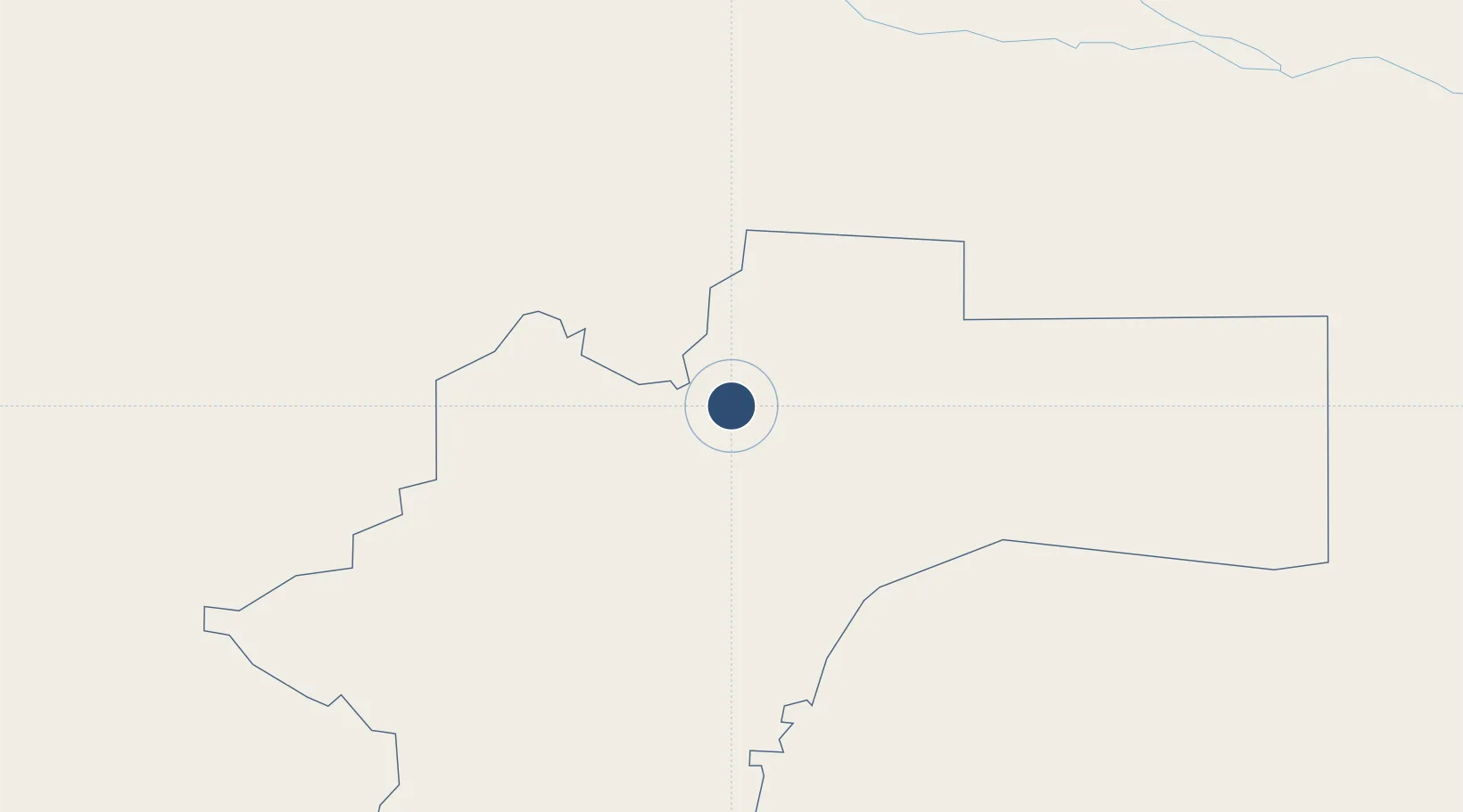
-19.6022°, 18.1227°
11,680 ft
Longest runway
2
Runways
4,636 ft
Elevation
Runway & Layout

Radio Frequencies
TWR
123.3 MHz
Navaids
GF NDB Grootfontein 215 kHz
GFV VOR-DME Grootfontein 115.70 MHz
Runways · 2
| Runway | Dimensions | Surface | True heading | Lit |
|---|---|---|---|---|
| 08/26 | 11,680 × 148ft | Asphalt | 068° | ✓ |
| 17/35 | 3,412 × 98ft | Asphalt | 158° | — |
Airport Specifications
IATA code
GFY
ICAO code
FYGF
Airport class
Medium airport
Scheduled service
No
Runway surface
Asphalt
Served city
Grootfontein
Location
Nearby Logistics Neighbours
Airports
- 1Tsumeb Airport56 km
- 2Halali Airport186 km
- 3Rundu Airport249 km
- 4Ondangwa Airport298 km
- 5Hosea Kutako International Airport327 km
Cities
- 1Okahandja293 km
- 2Oshikango340 km
- 3Ruacana465 km
- 4Walvis Bay528 km
- 5Maltahohe593 km
Ports
- 1Walvis Bay529 km
- 2Namibe801 km
- 3Luderitz Bay841 km
- 4Lobito944 km
- 5Sumbe1041 km
DatabookThe Record of Consolidated Knowledge
Namibia beyond logistics?