Runway & Layout

Airport Specifications
IATA code
HAL
ICAO code
FYHI
Airport class
Small airport
Scheduled service
Yes
Served city
Halali
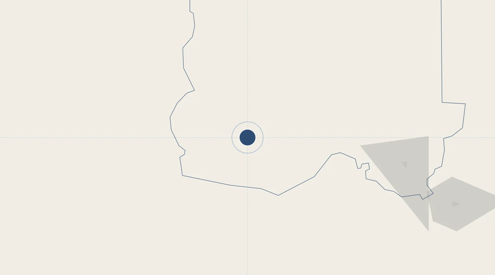
Location
Nearby Logistics Neighbours
Airports
- 1Tsumeb Airport136 km
- 2Ondangwa Airport139 km
- 3Grootfontein Airport186 km
- 4Ngjiva Pereira Airport235 km
- 5Xangongo Airport298 km
Cities
- 1Oshikango191 km
- 2Ruacana285 km
- 3Okahandja332 km
- 4Walvis Bay481 km
- 5Baía dos Tigres568 km
Ports
- 1Walvis Bay481 km
- 2Namibe625 km
- 3Lobito806 km
- 4Luderitz Bay858 km
- 5Sumbe915 km
DatabookThe Record of Consolidated Knowledge
Namibia beyond logistics?