Medium airport · Angola

Ngjiva Pereira AirportFNGI
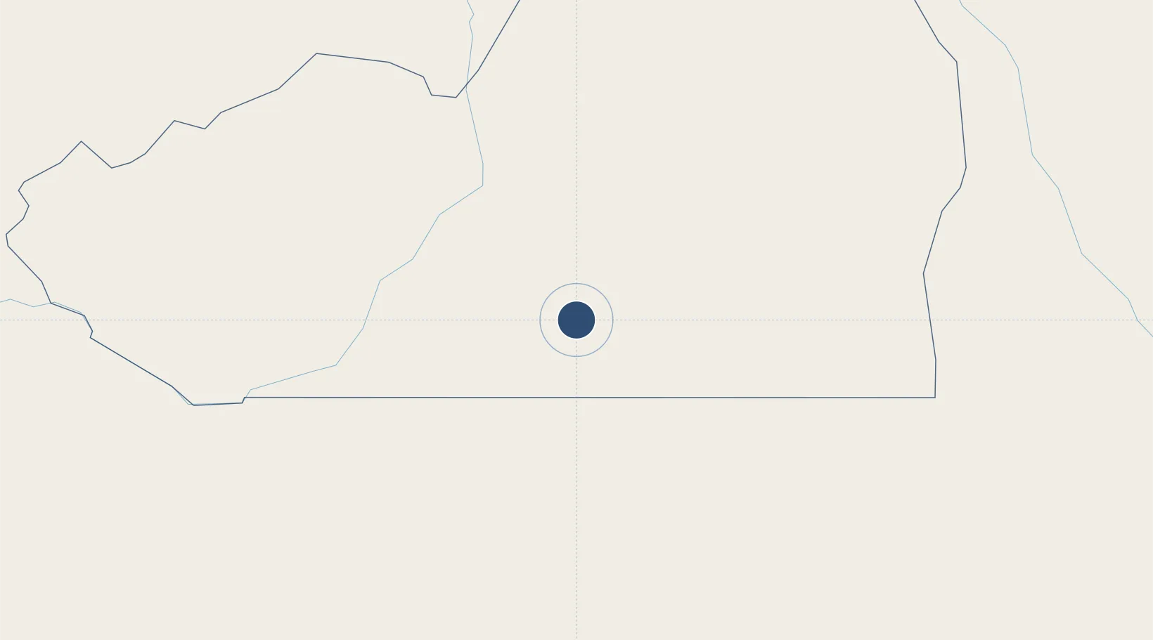
-17.0435°, 15.6838°
10,640 ft
Longest runway
1
Runways
3,566 ft
Elevation

Runway & Layout

Ngjiva Pereira Airport runway & taxiway layout
Runway & taxiway layout — OpenStreetMap (ODbL) / OurAirports

Radio Frequencies

AFIS
118.7 MHz
OurAirports

Navaids

PE NDB Ngiva 327 kHz
OurAirports

Runways · 1

RunwayDimensions SurfaceTrue headingLit
13/31 10,640 × 95ft Asphalt 115°
OurAirports

Airport Specifications

IATA code
VPE
OurAirports
ICAO code
FNGI
OurAirports
Airport class
Medium airport
OurAirports
Scheduled service
Yes
OurAirports
Runway surface
Asphalt
OurAirports
Served city
Ngiva
OurAirports

Location

Location of FNGI
Natural Earth 10m (public domain) · Cunene · FNGI · -17.04, 15.68GoogleOSMYandex

Nearby Logistics Neighbours

Airports
  1. 1Xangongo Airport83 km
  2. 2Ondangwa Airport97 km
  3. 3Halali Airport235 km
  4. 4Lubango Mukanka International Airport326 km
  5. 5Tsumeb Airport328 km
Nearest neighbours — logibook spatial index (haversine) over the source coordinates
Cities
  1. 1Oshikango45 km
  2. 2Ruacana148 km
  3. 3Baía dos Tigres423 km
  4. 4Porto Saco (Portosalazar)435 km
  5. 5Baba443 km
Nearest neighbours — logibook spatial index (haversine) over the source coordinates
Ports
  1. 1Namibe430 km
  2. 2Lobito571 km
  3. 3Walvis Bay668 km
  4. 4Sumbe680 km
  5. 5Porto Amboim732 km
Nearest neighbours — logibook spatial index (haversine) over the source coordinates
Trade Zones
  1. 1Catumbela Industrial Development Pole565 km
  2. 2Walvis Bay (Nara Namib) Export Processing Zone669 km
  3. 3Viana Industrial Development Pole929 km
  4. 4Luanda-Bengo Special Economic Zone935 km
  5. 5Pandamatenga Special Economic Zone1066 km
Nearest neighbours — logibook spatial index (haversine) over the source coordinates
DatabookThe Record of Consolidated Knowledge
Angola beyond logistics?
Browse databook

All Sources

AirportsOurAirports
Public domain
Portsthe NGA World Port Index
Public domain (US gov)
LocationsUN/LOCODE
UN/LOCODE — free
Trade Zonesthe World Bank SEZ database
CC BY 4.0
Trade ZonesOpen Zone Map
CC BY
InfrastructureOpenStreetMap
ODbL 1.0
← Angola airports