Medium airport · Angola
Malanje AirportFNMA
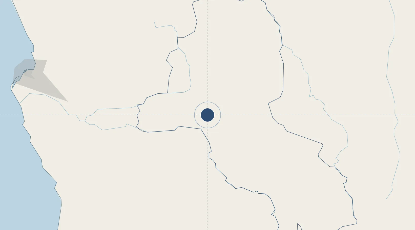
-9.5251°, 16.3124°
7,283 ft
Longest runway
1
Runways
3,868 ft
Elevation
Runway & Layout

Radio Frequencies
AFIS
118.9 MHz
Navaids
MA NDB Malanje 293 kHz
Runways · 1
| Runway | Dimensions | Surface | True heading | Lit |
|---|---|---|---|---|
| 13/31 | 7,283 × 98ft | Asphalt | 123° | — |
Airport Specifications
IATA code
MEG
ICAO code
FNMA
Airport class
Medium airport
Scheduled service
Yes
Runway surface
Asphalt
Served city
Malanje
Location
Nearby Logistics Neighbours
Airports
- 1Negage Airport227 km
- 2Uige Airport256 km
- 3Porto Amboim Airport309 km
- 4Dr. Antonio Agostinho Neto International Airport313 km
- 5Sumbe Airport326 km
Cities
- 1Santa Clara296 km
- 2Luanda340 km
- 3Capulo386 km
- 4Lobito435 km
- 5N'Zeto (Ambrizete)456 km
Ports
- 1Porto Amboim311 km
- 2Sumbe329 km
- 3Luanda346 km
- 4Porto Do Ambriz400 km
- 5Lobito433 km
Trade Zones
DatabookThe Record of Consolidated Knowledge
Angola beyond logistics?