Export Processing Zone · Zambia
Lumwana Multi-Facility Economic Zone Active
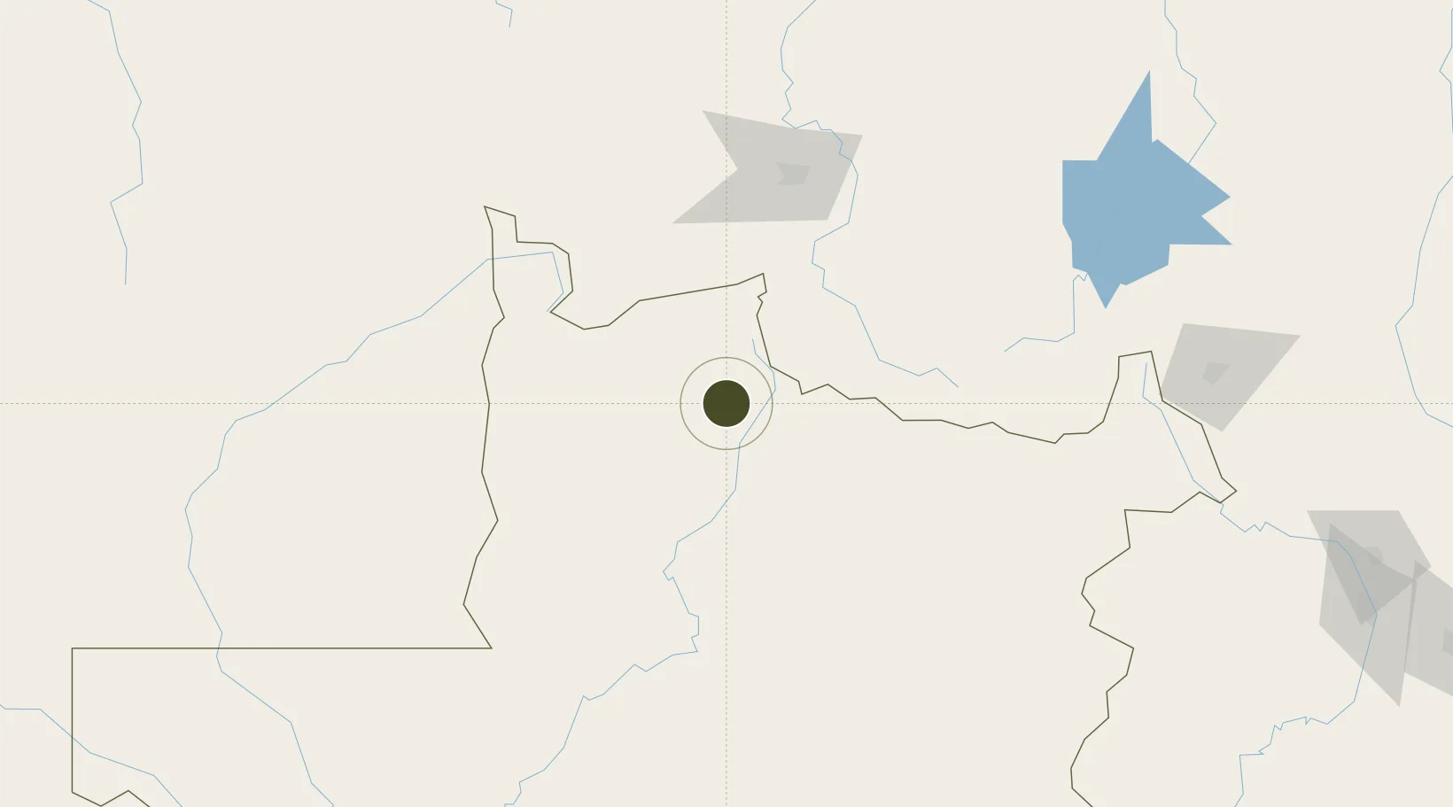
-11.8216°, 25.1328°
10 ha
Zone area
1,233.0 km
Nearest port
58.8 km
Nearest airport
Gateway access
Zone profile
Zone type
Export Processing Zone
Region
North-Western
Status
Active
Management
Public-Private Partnership
Operator
Zambia China Commercial and Trade Cooperation Zone
Legal framework
Zambia Development Agency (ZDA) Act No. 11 of 2006
Location
Nearby Logistics Neighbours
Ports
- 1Sumbe1233 km
- 2Porto Amboim1247 km
- 3Lobito1259 km
- 4Luanda1343 km
- 5Beira1367 km
Airports
- 1Kalumbila Airport59 km
- 2Kolwezi Airport124 km
- 3Solwesi Airport140 km
- 4Lubumbashi International Airport262 km
- 5Kasompe Airport312 km
Cities
- 1Likasi198 km
- 2Kipushi229 km
- 3Lubumbashi257 km
- 4Mutasa265 km
- 5Kalulishi340 km
DatabookThe Record of Consolidated Knowledge
Zambia beyond logistics?