Medium airport · South Africa
Vryburg AirportFAVB
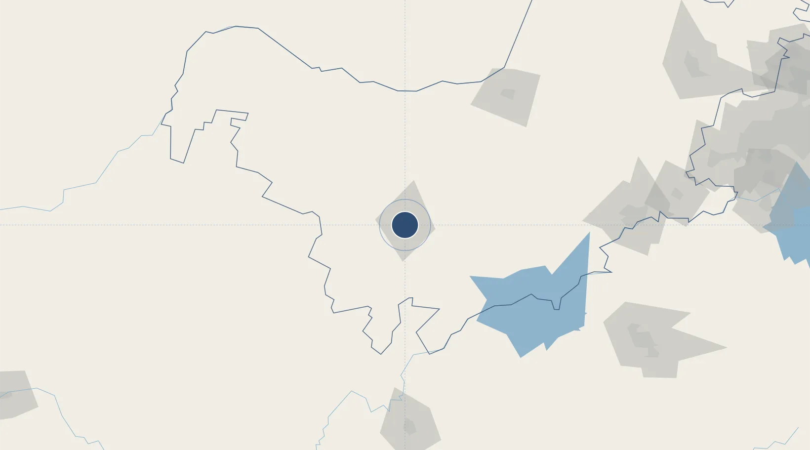
-26.9824°, 24.7288°
3,937 ft
Longest runway
1
Runways
3,920 ft
Elevation
Runway & Layout

Navaids
VB NDB Vryburg 425 kHz
Runways · 1
| Runway | Dimensions | Surface | True heading | Lit |
|---|---|---|---|---|
| 18/36 | 3,937 × 66ft | Asphalt | 164° | — |
Airport Specifications
IATA code
VRU
ICAO code
FAVB
Airport class
Medium airport
Scheduled service
No
Runway surface
Asphalt
Served city
Vyrburg
Location
Nearby Logistics Neighbours
Airports
- 1Johan Pienaar Airport141 km
- 2Mmabatho International Airport155 km
- 3Sishen Airport186 km
- 4P C Pelser Airport198 km
- 5Lime Acres Finsch Mine Airport199 km
Cities
- 1Hartswater88 km
- 2East End172 km
- 3Maseru192 km
- 4Zeerust210 km
- 5Viljoenskroon221 km
Ports
- 1Durban698 km
- 2East London739 km
- 3Richards Bay752 km
- 4Port Elizabeth780 km
- 5Maputo786 km
Trade Zones
DatabookThe Record of Consolidated Knowledge
South Africa beyond logistics?