Transport Functions
Road
Multimodal
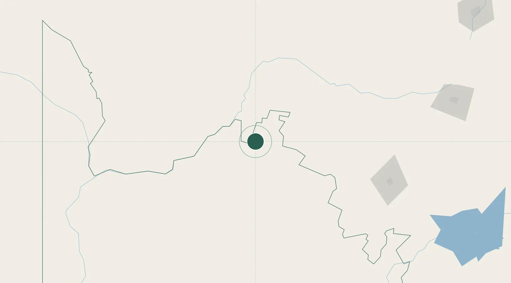
Hub Profile
Place type
Populated place
Region
NW
Time zone
Africa/Johannesburg
Elevation
1,046 m
Location
Nearby Logistics Neighbours
Cities
- 1Hartswater242 km
- 2Pelindaba307 km
- 3East End327 km
- 4Zeerust333 km
- 5Ramotswa339 km
Ports
- 1Luderitz Bay771 km
- 2Mossel Bay866 km
- 3Saldanha Bay876 km
- 4Port Elizabeth878 km
- 5East London881 km
Airports
- 1Johan Pienaar Airport126 km
- 2Sishen Airport137 km
- 3Vryburg Airport192 km
- 4Lime Acres Finsch Mine Airport223 km
- 5Jwaneng Airport270 km
Trade Zones
DatabookThe Record of Consolidated Knowledge
South Africa beyond logistics?