Transport Functions
Multimodal
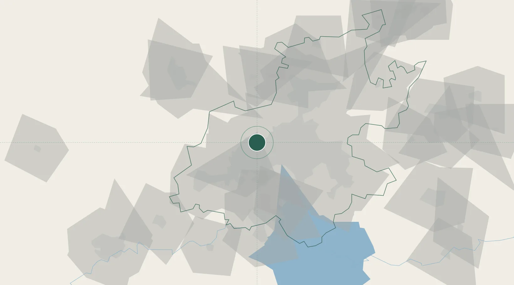
Hub Profile
Region
GT
Location
Nearby Logistics Neighbours
Cities
- 1Florida11 km
- 2Weltevredenpark12 km
- 3Maraisburg13 km
- 4Honeydew13 km
- 5Northcliff13 km
Ports
- 1Maputo473 km
- 2Richards Bay518 km
- 3Durban525 km
- 4East London769 km
- 5Inhambane802 km
Airports
- 1Lanseria International Airport23 km
- 2Grand Central Airport35 km
- 3Rand Airport36 km
- 4O.R. Tambo International Airport43 km
- 5Swartkop Air Force Base49 km
Trade Zones
DatabookThe Record of Consolidated Knowledge
South Africa beyond logistics?