UN/LOCODE hub · Ireland
IERSM

Rossaveel

53.2667°, -9.5500°
1
Transport functions

Transport Functions

Port
UN/LOCODE

Hub Profile

Place type
Populated place
GeoNames
Region
Connacht
GeoNames
Time zone
Europe/Dublin
GeoNames
Elevation
9 m
GeoNames

Location

Location of IERSM
Natural Earth 10m (public domain) · Connacht · IERSM · 53.27, -9.55GoogleOSMYandex

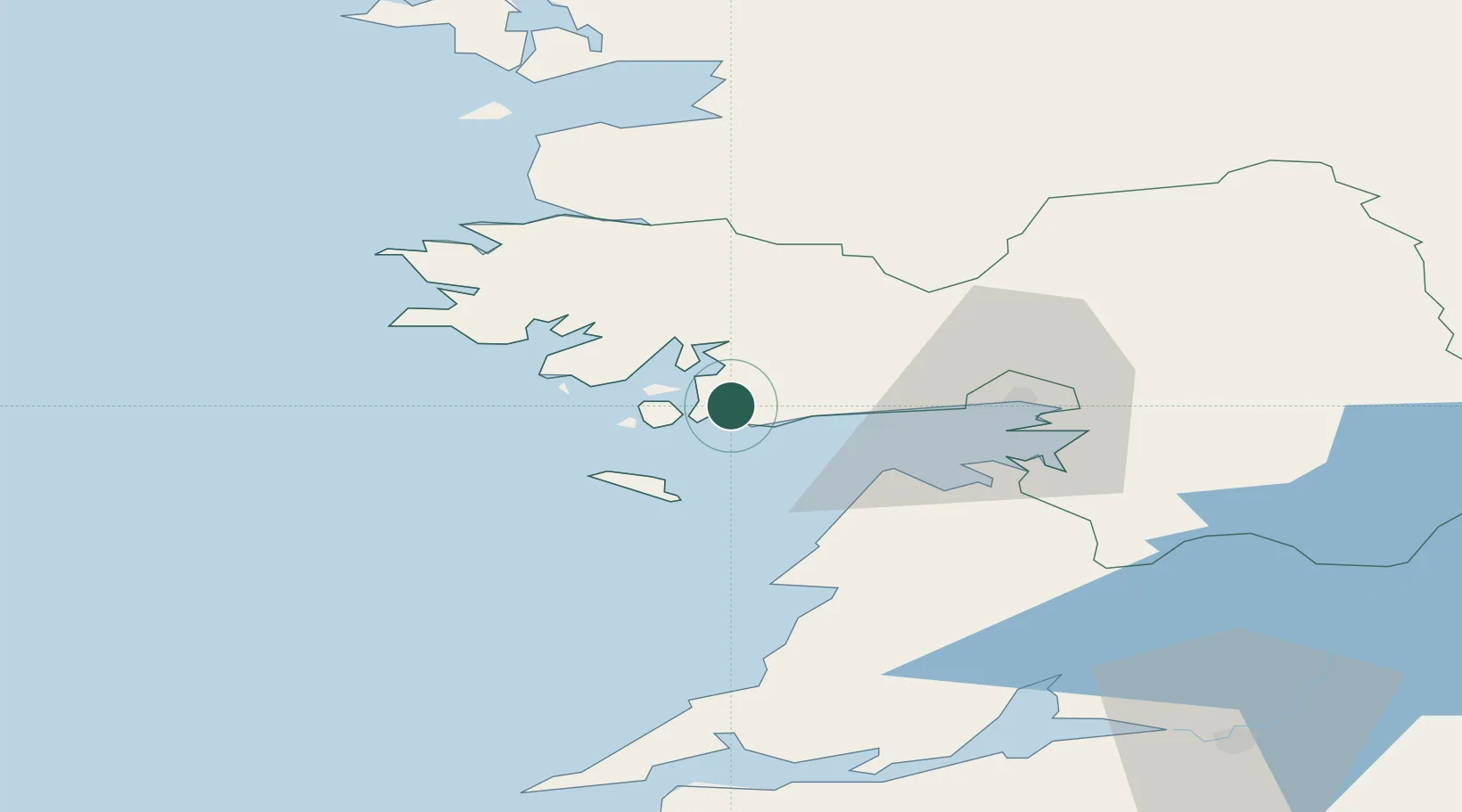
Nearby Logistics Neighbours

Cities
  1. 1Kilkieran13 km
  2. 2Kilronan18 km
  3. 3Ennistymon41 km
  4. 4Kilmurry52 km
  5. 5Tuam54 km
Nearest neighbours — logibook spatial index (haversine) over the source coordinates
Ports
  1. 1Galway33 km
  2. 2Westport59 km
  3. 3Kilrush71 km
  4. 4Tarbert77 km
  5. 5Foynes78 km
Nearest neighbours — logibook spatial index (haversine) over the source coordinates
Airports
  1. 1Connemara Regional Airport7 km
  2. 2Inishmore Aerodrome19 km
  3. 3Inishmaan Aerodrome19 km
  4. 4Inisheer Aerodrome23 km
  5. 5Shannon Airport76 km
Nearest neighbours — logibook spatial index (haversine) over the source coordinates
Trade Zones
  1. 1Shannon Free Zone76 km
  2. 2Dublin International Financial Services Centre220 km
  3. 3Isle of Man Free Zone and Business Park337 km
  4. 4Prestwick Airport Free Zone405 km
  5. 5Mersey Waters Enterprise Zone434 km
Nearest neighbours — logibook spatial index (haversine) over the source coordinates
DatabookThe Record of Consolidated Knowledge
Ireland beyond logistics?
Browse databook

All Sources

LocationsUN/LOCODE
UN/LOCODE — free
Portsthe NGA World Port Index
Public domain (US gov)
AirportsOurAirports
Public domain
Trade Zonesthe World Bank SEZ database
CC BY 4.0
Trade ZonesOpen Zone Map
CC BY
← Ireland locations