Transport Functions
Port
Road
Hub Profile
Region
FIF
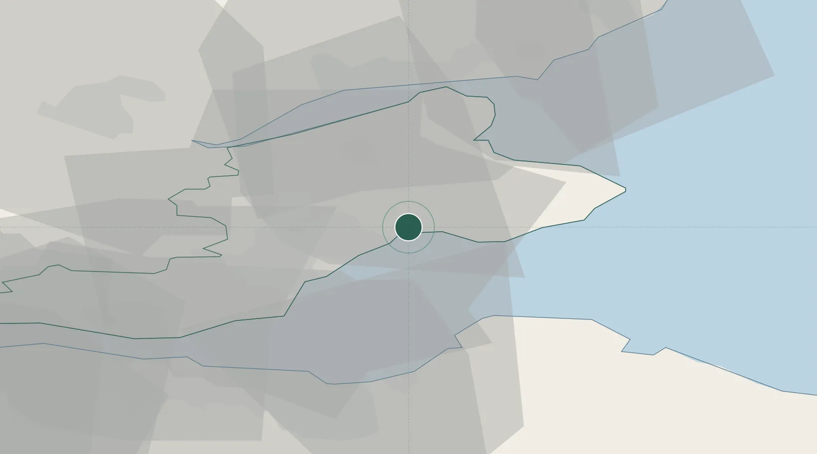
Location
Nearby Logistics Neighbours
Cities
- 1Methil6 km
- 2Elie9 km
- 3Saint Monance (Saint Monans)11 km
- 4West Wemyss12 km
- 5Pittenweem13 km
Ports
- 1Methil5 km
- 2Burntisland26 km
- 3Dundee28 km
- 4Leith30 km
- 5Braefoot Bay Terminal31 km
Airports
- 1Leuchars Station Airfield18 km
- 2Dundee Airport27 km
- 3Edinburgh Airport40 km
- 4Glasgow Airport100 km
- 5Aberdeen International Airport119 km
Trade Zones
DatabookThe Record of Consolidated Knowledge
United Kingdom beyond logistics?