UN/LOCODE hub · United Kingdom
GBWMD

West Mainland

60.2167°, -1.3833°
1
Transport functions

Transport Functions

Port
UN/LOCODE

Hub Profile

Region
ZET
GeoNames

Location

Location of GBWMD
Natural Earth 10m (public domain) · ZET · GBWMD · 60.22, -1.38GoogleOSMYandex

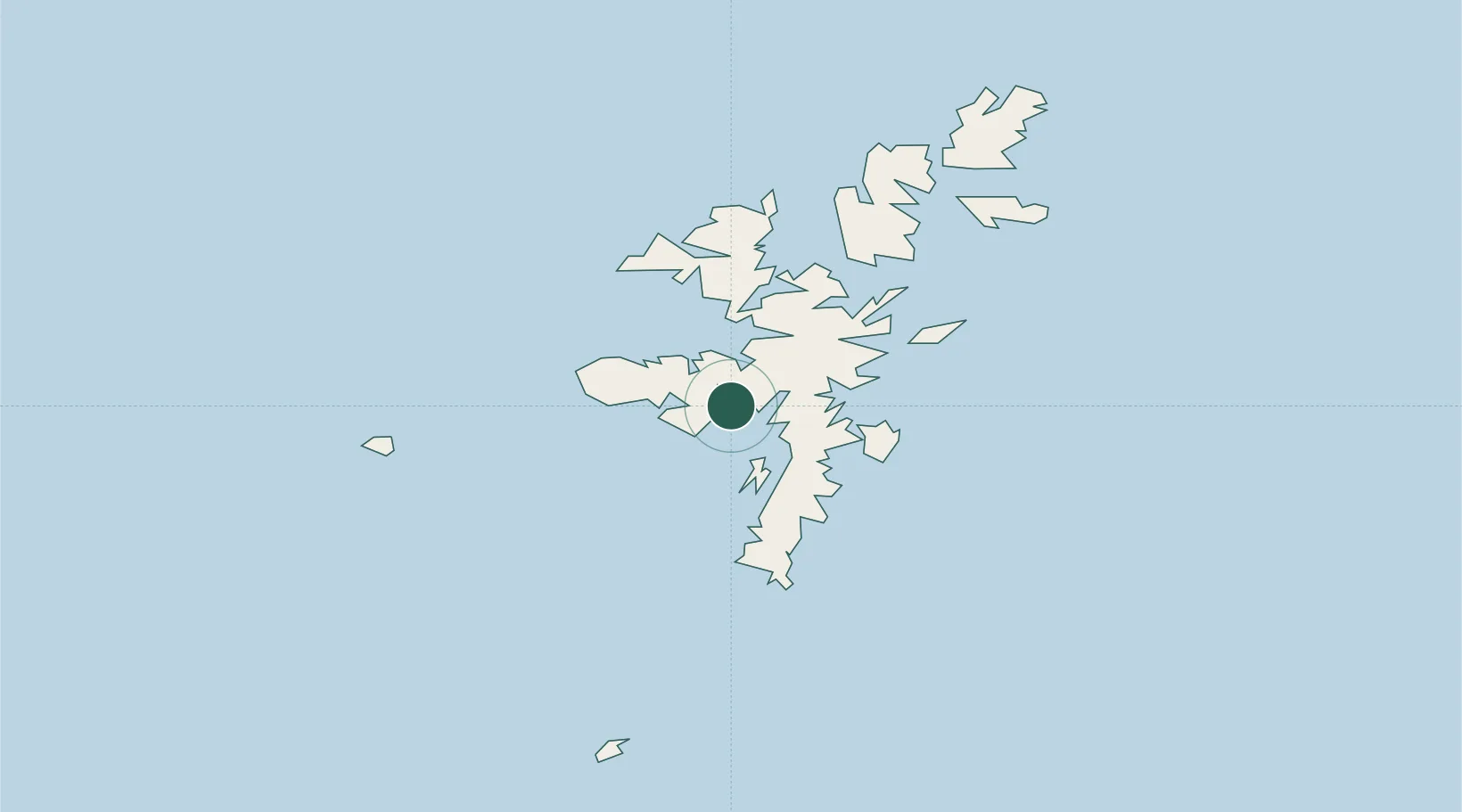
Nearby Logistics Neighbours

Cities
  1. 1Sand0 km
  2. 2Skeld6 km
  3. 3Aith7 km
  4. 4Walls9 km
  5. 5Walls Shetland10 km
Nearest neighbours — logibook spatial index (haversine) over the source coordinates
Ports
  1. 1Scalloway11 km
  2. 2Lerwick14 km
  3. 3Sullom Voe28 km
  4. 4Kettletoft129 km
  5. 5Pierowall134 km
Nearest neighbours — logibook spatial index (haversine) over the source coordinates
Airports
  1. 1Lerwick / Tingwall Airport8 km
  2. 2Sumburgh Airport38 km
  3. 3Foula Airfield39 km
  4. 4Fair Isle Airport77 km
  5. 5North Ronaldsay Airport111 km
Nearest neighbours — logibook spatial index (haversine) over the source coordinates
Trade Zones
  1. 1Prestwick Airport Free Zone557 km
  2. 2North Eastern Enterprise Zone584 km
  3. 3Carlisle Kingmoor Park Enterprise Zone595 km
  4. 4Tees Valley Enterprise Zone625 km
  5. 5York Central Enterprise Zone696 km
Nearest neighbours — logibook spatial index (haversine) over the source coordinates
DatabookThe Record of Consolidated Knowledge
United Kingdom beyond logistics?
Browse databook

All Sources

LocationsUN/LOCODE
UN/LOCODE — free
Portsthe NGA World Port Index
Public domain (US gov)
AirportsOurAirports
Public domain
Trade Zonesthe World Bank SEZ database
CC BY 4.0
Trade ZonesOpen Zone Map
CC BY
← United Kingdom locations