Transport Functions
Rail
Road
Hub Profile
Place type
Local administrative seat
Region
Baden-Wurttemberg
Population
4,047
Time zone
Europe/Berlin
Elevation
344 m
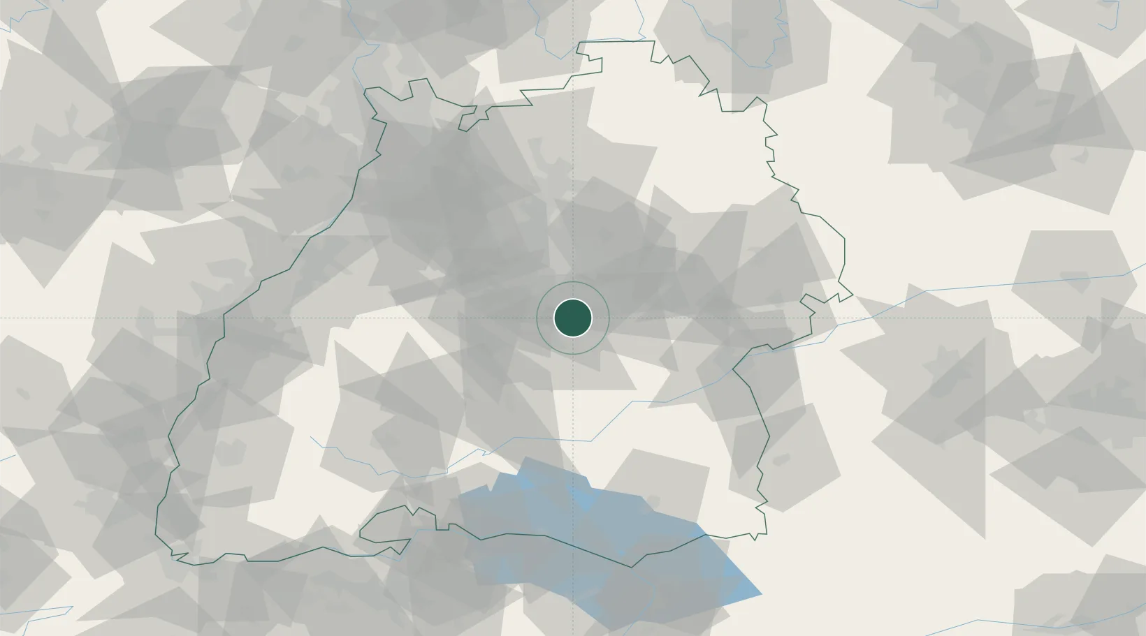
Location
Nearby Logistics Neighbours
Cities
- 1Neckartailfingen4 km
- 2Frickenhausen5 km
- 3Grafenberg6 km
- 4Kohlberg6 km
- 5Oberboihingen7 km
Ports
- 1Porto Di Lido-Venezia426 km
- 2Nogaro430 km
- 3Bruxelles436 km
- 4Porto Di Chioggia438 km
- 5Grado442 km
Airports
- 1Stuttgart Airport12 km
- 2Mengen-Hohentengen Airfield61 km
- 3Laupheim Air Base62 km
- 4Adolf Würth Airport68 km
- 5Donaueschingen-Villingen Airfield90 km
Trade Zones
- 1ZFU Neuhof113 km
- 2ZFU Hautepierre118 km
- 3ZFU Mulhouse174 km
- 4ZFU La Cité Behren-lès-Forbach185 km
- 5ZFU Belfort213 km
DatabookThe Record of Consolidated Knowledge
Germany beyond logistics?