UN/LOCODE hub · Germany
DEONN

Oberboihingen

48.6500°, 9.3667°
5,435
Population
1
Transport functions

Transport Functions

Multimodal
UN/LOCODE

Hub Profile

Place type
Local administrative seat
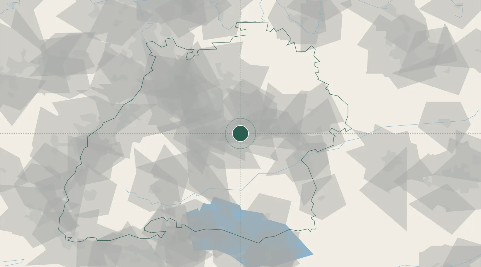
GeoNames
Region
Baden-Wurttemberg
GeoNames
Population
5,435
GeoNames
Time zone
Europe/Berlin
GeoNames
Elevation
271 m
GeoNames

Location

Location of DEONN
Natural Earth 10m (public domain) · Baden-Wurttemberg · DEONN · 48.65, 9.37GoogleOSMYandex

Nearby Logistics Neighbours

Cities
  1. 1Wendlingen am Neckar4 km
  2. 2Notzingen6 km
  3. 3Grossbettlingen7 km
  4. 4Frickenhausen7 km
  5. 5Neckartailfingen9 km
Nearest neighbours — logibook spatial index (haversine) over the source coordinates
Ports
  1. 1Porto Di Lido-Venezia428 km
  2. 2Nogaro431 km
  3. 3Bruxelles436 km
  4. 4Porto Di Chioggia440 km
  5. 5Grado443 km
Nearest neighbours — logibook spatial index (haversine) over the source coordinates
Airports
  1. 1Stuttgart Airport12 km
  2. 2Adolf Würth Airport60 km
  3. 3Laupheim Air Base62 km
  4. 4Mengen-Hohentengen Airfield66 km
  5. 5Niederstetten Army Air Base93 km
Nearest neighbours — logibook spatial index (haversine) over the source coordinates
Trade Zones
  1. 1ZFU Neuhof119 km
  2. 2ZFU Hautepierre123 km
  3. 3ZFU Mulhouse181 km
  4. 4ZFU La Cité Behren-lès-Forbach187 km
  5. 5ZFU Belfort220 km
Nearest neighbours — logibook spatial index (haversine) over the source coordinates
DatabookThe Record of Consolidated Knowledge
Germany beyond logistics?
Browse databook

All Sources

LocationsUN/LOCODE
UN/LOCODE — free
LocationsGeoNames
CC BY 4.0
Portsthe NGA World Port Index
Public domain (US gov)
AirportsOurAirports
Public domain
Trade Zonesthe World Bank SEZ database
CC BY 4.0
Trade ZonesOpen Zone Map
CC BY
← Germany locations