UN/LOCODE hub · Germany
DENTA
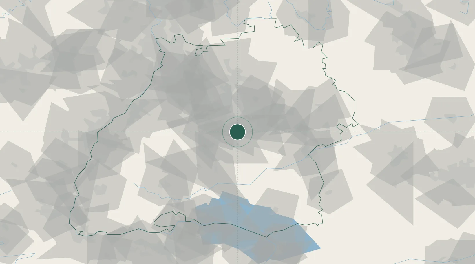
Neckartailfingen
48.6167°, 9.2500°
3,862
Population
2
Transport functions
Transport Functions
Port
Road
Hub Profile
Place type
Local administrative seat
Region
Baden-Wurttemberg
Population
3,862
Time zone
Europe/Berlin
Elevation
285 m
Location
Nearby Logistics Neighbours
Cities
- 1Grossbettlingen4 km
- 2Pliezhausen8 km
- 3Grafenberg8 km
- 4Oberboihingen9 km
- 5Frickenhausen9 km
Ports
- 1Porto Di Lido-Venezia430 km
- 2Bruxelles432 km
- 3Nogaro434 km
- 4Porto Di Chioggia442 km
- 5Grado446 km
Airports
- 1Stuttgart Airport8 km
- 2Mengen-Hohentengen Airfield63 km
- 3Laupheim Air Base66 km
- 4Adolf Würth Airport68 km
- 5Karlsruhe Baden-Baden Airport88 km
Trade Zones
- 1ZFU Neuhof110 km
- 2ZFU Hautepierre115 km
- 3ZFU Mulhouse172 km
- 4ZFU La Cité Behren-lès-Forbach181 km
- 5ZFU Belfort211 km
DatabookThe Record of Consolidated Knowledge
Germany beyond logistics?