Large airport · Benin

Cotonou Cadjehoun International AirportDBBB
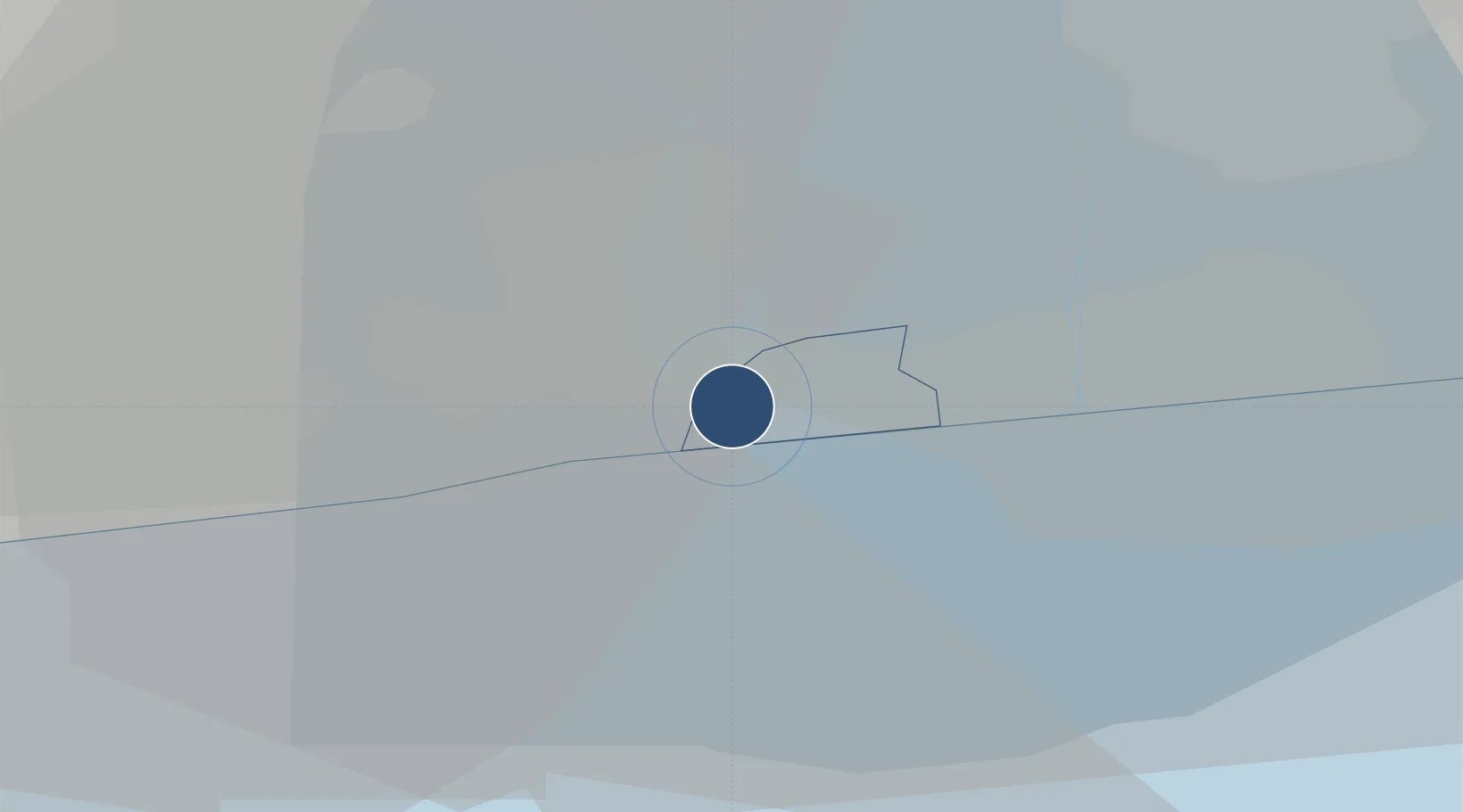
6.3572°, 2.3843°
7,874 ft
Longest runway
1
Runways
19 ft
Elevation

Runway & Layout

Cotonou Cadjehoun International Airport runway & taxiway layout
Runway & taxiway layout — OpenStreetMap (ODbL) / OurAirports

Radio Frequencies

TWR
118.7 MHz
TWR
125.9 MHz
APP
125.9 MHz
A/G
658.6 MHz
A/G VOICE RDO
OurAirports

Navaids

CO NDB Cotonou 284 kHz
TYE VOR-DME Cotonou 113.30 MHz
OurAirports

Runways · 1

RunwayDimensions SurfaceTrue headingLit
06/24 7,874 × 148ft Asphalt 053°
OurAirports

Airport Specifications

IATA code
COO
OurAirports
ICAO code
DBBB
OurAirports
Airport class
Large airport
OurAirports
Scheduled service
Yes
OurAirports
Runway surface
Asphalt
OurAirports
Served city
Cotonou
OurAirports

Location

Location of DBBB
Natural Earth 10m (public domain) · Littoral · DBBB · 6.36, 2.38GoogleOSMYandex

Nearby Logistics Neighbours

Airports
  1. 1Murtala Muhammed International Airport106 km
  2. 2Lomé–Tokoin International Airport127 km
  3. 3Ho Airport206 km
  4. 4Ibadan Airport209 km
  5. 5Kotoka International Airport294 km
Nearest neighbours — logibook spatial index (haversine) over the source coordinates
Cities
  1. 1Cotonou14 km
  2. 2Porto-Novo29 km
  3. 3Akoko40 km
  4. 4Ado Odo66 km
  5. 5Aného88 km
Nearest neighbours — logibook spatial index (haversine) over the source coordinates
Ports
  1. 1Cotonou6 km
  2. 2Kpeme98 km
  3. 3Tin Can Island107 km
  4. 4Lagos112 km
  5. 5Lome124 km
Nearest neighbours — logibook spatial index (haversine) over the source coordinates
Trade Zones
  1. 1Seme-Podji Export Processing Zone22 km
  2. 2Free Processing Zone of Benin28 km
  3. 3Sèmè-Podji Free Industrial Zone28 km
  4. 4Glo-Djigbé Special Economic Zone31 km
  5. 5Allada Special Agro-Industrial Zone41 km
Nearest neighbours — logibook spatial index (haversine) over the source coordinates
DatabookThe Record of Consolidated Knowledge
Benin beyond logistics?
Browse databook

All Sources

AirportsOurAirports
Public domain
Portsthe NGA World Port Index
Public domain (US gov)
LocationsUN/LOCODE
UN/LOCODE — free
Trade Zonesthe World Bank SEZ database
CC BY 4.0
Trade ZonesOpen Zone Map
CC BY
InfrastructureOpenStreetMap
ODbL 1.0
← Benin airports