Medium airport · Canada
Faro AirportCZFA
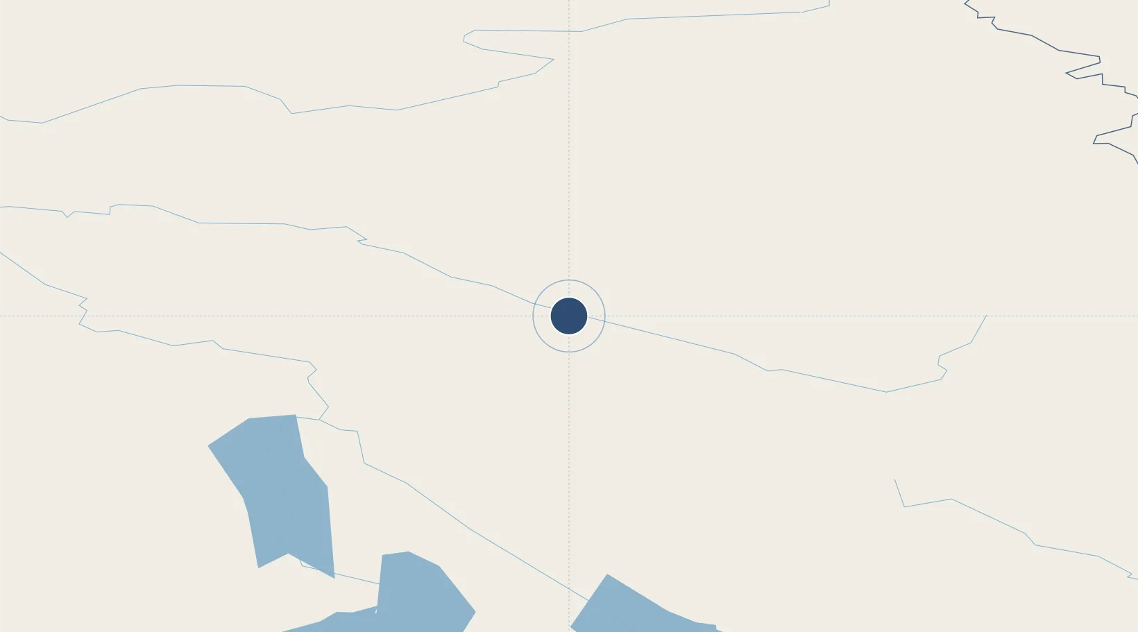
62.2075°, -133.3760°
4,000 ft
Longest runway
1
Runways
2,351 ft
Elevation
Runway & Layout

Radio Frequencies
ATF
122.1 MHz
MANDATORY FREQ
RCO
126.7 MHz
WHITEHORSE RDO
RDO
122.1 MHz
ARPT RDO
Navaids
ZFA NDB Faro 378 kHz
Runways · 1
| Runway | Dimensions | Surface | True heading | Lit |
|---|---|---|---|---|
| 09/27 | 4,000 × 100ft | Gravel | 114° | ✓ |
Airport Specifications
IATA code
ZFA
ICAO code
CZFA
Airport class
Medium airport
Scheduled service
No
Runway surface
Gravel
Served city
Faro
Location
Nearby Logistics Neighbours
Airports
- 1Ross River Airport56 km
- 2Whitehorse / Erik Nielsen International Airport189 km
- 3Mayo Airport201 km
- 4Teslin Airport229 km
- 5Haines Junction Airport272 km
Cities
- 1Juneau437 km
- 2Pleasant Island447 km
- 3Tyee577 km
- 4Fort Franklin591 km
- 5Neets Bay722 km
Ports
- 1Skagway324 km
- 2Haines349 km
- 3Excursion Inlet437 km
- 4Juneau438 km
- 5Dupont445 km
Trade Zones
- 1FTZ No. 108 Valdez694 km
- 2FTZ No. 195 Fairbanks767 km
- 3FTZ No. 160 Anchorage874 km
- 4PrInce George Logistics Park1111 km
- 5FTZ Vancouver Island1574 km
DatabookThe Record of Consolidated Knowledge
Canada beyond logistics?