Channel & Berth Profile
Pilotage, Tugs & Services
Pilotage availableYES
Facilities & Capabilities
Container—
Ro-Ro—
Liquid bulk—
Dry bulk—
Oil terminal—
Break bulk—
Dry dock—
Repairs—
Bunkering—
Rail link—
Dangerous cargo—
ISPS security—
Harbour Specifications
Harbour size
Very Small
Harbour type
Coastal (Natural)
Shelter
Fair
Water body
Alaska-Canada coastal waters; North Pacific Ocean
Tidal range
4.3 m
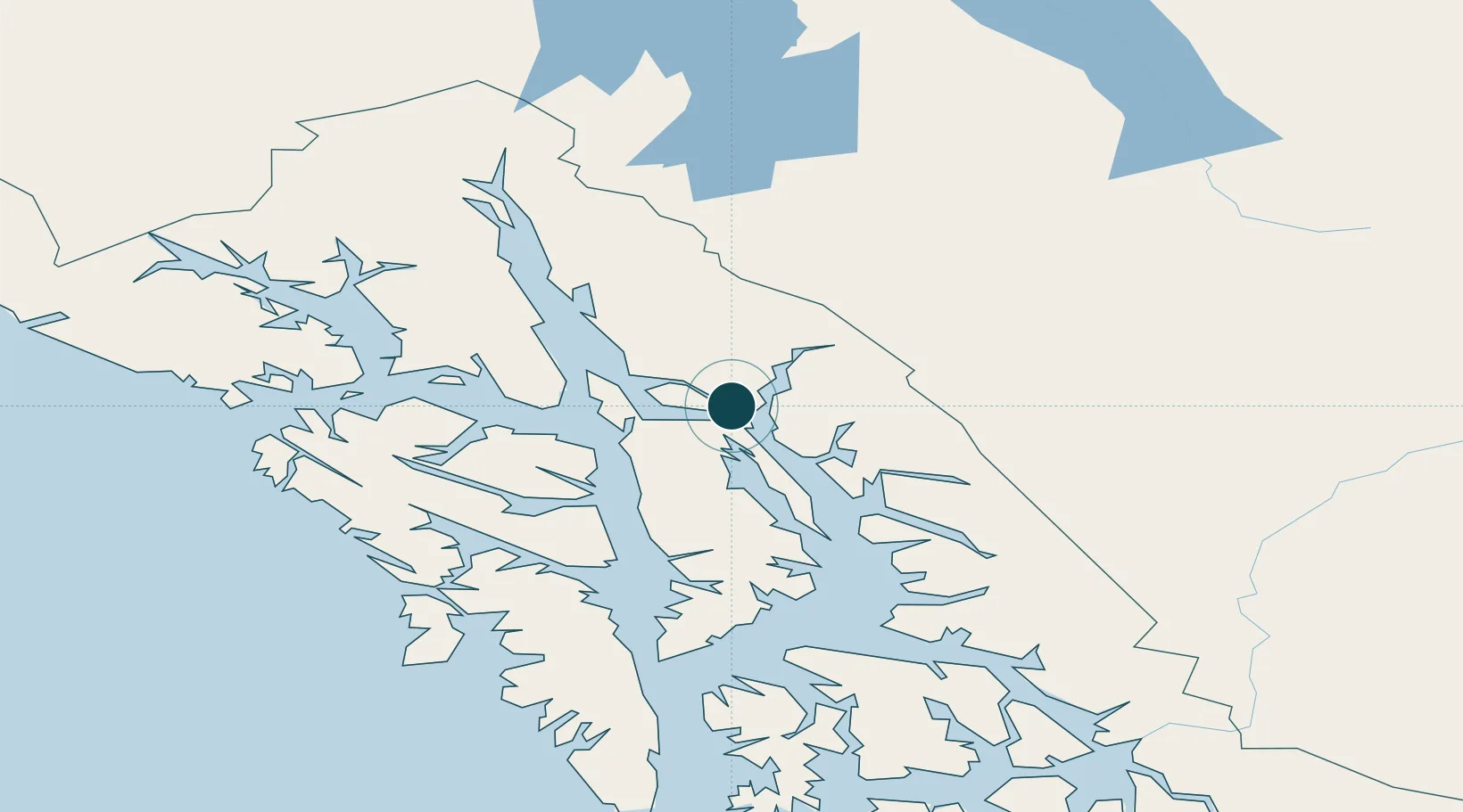
Location
Nearby Logistics Neighbours
Ports
- 1Juneau12 km
- 2Hawk Inlet31 km
- 3Funter37 km
- 4Hoonah71 km
- 5Excursion Inlet72 km
Cities
- 1Juneau14 km
- 2Pleasant Island81 km
- 3Tyee133 km
- 4Neets Bay317 km
- 5Ward Cove351 km
Airports
Trade Zones
- 1FTZ No. 108 Valdez750 km
- 2PrInce George Logistics Park859 km
- 3FTZ No. 160 Anchorage934 km
- 4FTZ No. 195 Fairbanks1020 km
- 5FTZ Vancouver Island1236 km
DatabookThe Record of Consolidated Knowledge
United States beyond logistics?