Medium airport · Canada
Mayo AirportCYMA
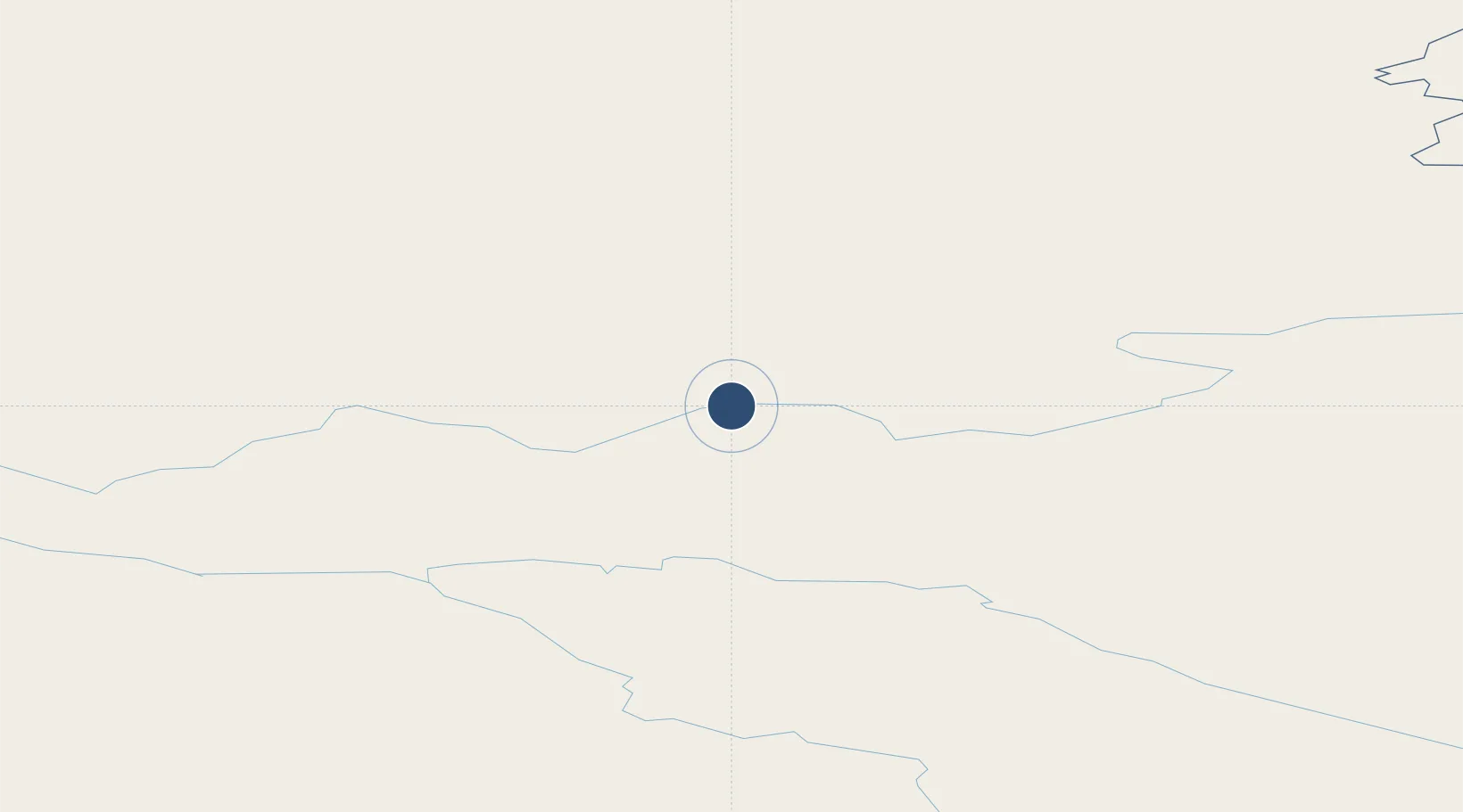
63.6164°, -135.8680°
4,856 ft
Longest runway
1
Runways
1,653 ft
Elevation
Runway & Layout

Radio Frequencies
CNTR
134.65 MHz
EDMONTON CNTR
RCO
126.7 MHz
WHITEHORSE RDO
RDO
122.1 MHz
ARPT RDO
Navaids
MA NDB Mayo 365 kHz
Runways · 1
| Runway | Dimensions | Surface | True heading | Lit |
|---|---|---|---|---|
| 07/25 | 4,856 × 100ft | Gravel | 090° | ✓ |
Airport Specifications
IATA code
YMA
ICAO code
CYMA
Airport class
Medium airport
Scheduled service
No
Runway surface
Gravel
Served city
Mayo
Location
Nearby Logistics Neighbours
Airports
- 1Dawson City Airport167 km
- 2Faro Airport201 km
- 3Ross River Airport253 km
- 4Burwash Airport298 km
- 5Whitehorse / Erik Nielsen International Airport326 km
Cities
- 1Pleasant Island586 km
- 2Juneau594 km
- 3Orca613 km
- 4Cordova616 km
- 5Herschel Island676 km
Ports
- 1Skagway464 km
- 2Haines488 km
- 3Yakutat496 km
- 4Excursion Inlet579 km
- 5Juneau596 km
Trade Zones
- 1FTZ No. 195 Fairbanks588 km
- 2FTZ No. 108 Valdez606 km
- 3FTZ No. 160 Anchorage767 km
- 4PrInce George Logistics Park1312 km
- 5FTZ Vancouver Island1772 km
DatabookThe Record of Consolidated Knowledge
Canada beyond logistics?