Medium airport · Canada
Ross River AirportCYDM
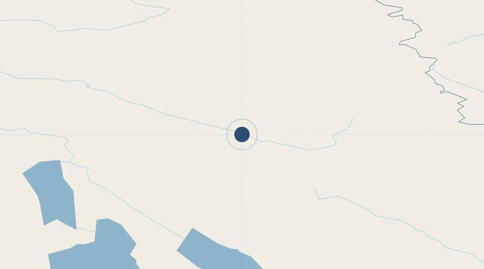
61.9706°, -132.4230°
5,000 ft
Longest runway
1
Runways
2,314 ft
Elevation
Runway & Layout

Navaids
YDM NDB Ross River 218 kHz
Runways · 1
| Runway | Dimensions | Surface | True heading | Lit |
|---|---|---|---|---|
| 08/26 | 5,000 × 100ft | GRVL | — | — |
Airport Specifications
IATA code
XRR
ICAO code
CYDM
Airport class
Medium airport
Scheduled service
No
Runway surface
GRVL
Served city
Ross River
Location
Nearby Logistics Neighbours
Airports
- 1Faro Airport56 km
- 2Whitehorse / Erik Nielsen International Airport199 km
- 3Teslin Airport201 km
- 4Mayo Airport253 km
- 5Atlin Airport275 km
Cities
- 1Juneau422 km
- 2Pleasant Island440 km
- 3Tyee560 km
- 4Fort Franklin570 km
- 5Neets Bay690 km
Ports
- 1Skagway322 km
- 2Haines346 km
- 3Juneau423 km
- 4Dupont428 km
- 5Excursion Inlet429 km
Trade Zones
- 1FTZ No. 108 Valdez743 km
- 2FTZ No. 195 Fairbanks823 km
- 3FTZ No. 160 Anchorage924 km
- 4PrInce George Logistics Park1060 km
- 5FTZ Vancouver Island1527 km
DatabookThe Record of Consolidated Knowledge
Canada beyond logistics?