Small airport · Canada
Ilford AirportCZBD
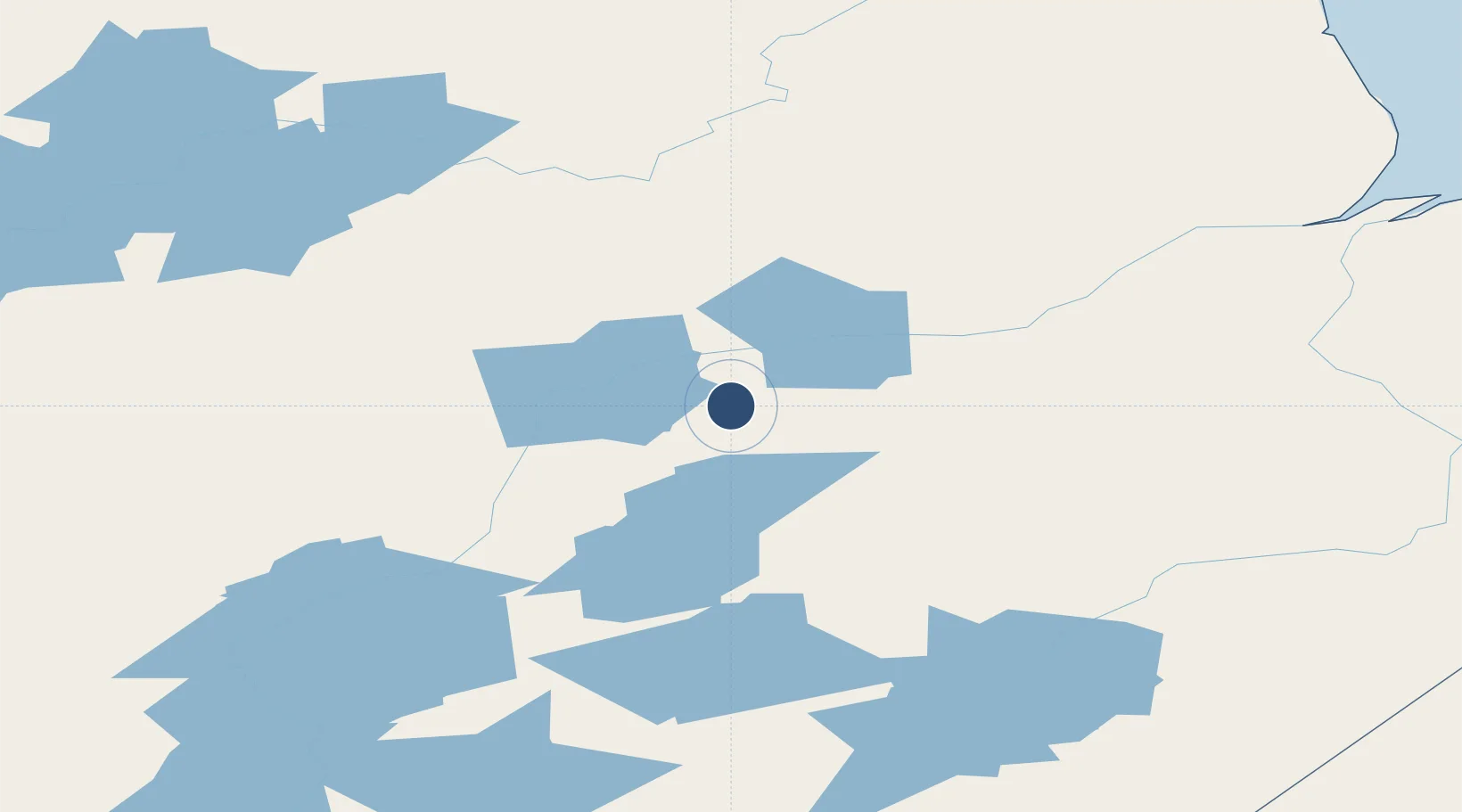
56.0516°, -95.6188°
3,000 ft
Longest runway
1
Runways
642 ft
Elevation
Runway & Layout

Runways · 1
| Runway | Dimensions | Surface | True heading | Lit |
|---|---|---|---|---|
| 09/27 | 3,000 × 75ft | CRUSHED ROCK | — | — |
Airport Specifications
IATA code
ILF
ICAO code
CZBD
Airport class
Small airport
Scheduled service
Yes
Runway surface
CRUSHED ROCK
Served city
Ilford
Location
Nearby Logistics Neighbours
Airports
- 1Kelsey Airport55 km
- 2Gillam Airport66 km
- 3Pikwitonei Airport109 km
- 4Oxford House Airport126 km
- 5Thompson Airport143 km
Cities
- 1Split Lake37 km
- 2Island Lake250 km
- 3Churchill314 km
- 4Ballyhahil453 km
- 5Red Lake567 km
Ports
- 1Churchill315 km
- 2Thunder Bay955 km
- 3Grand Marais991 km
- 4Heron Bay1036 km
- 5Two Harbors1041 km
Trade Zones
- 1Winnipegs Centreport Canada692 km
- 2FTZ No. 259 Koochiching County869 km
- 3Global Transportation Hub Authority869 km
- 4FTZ No. 103 Grand Forks911 km
- 5FTZ No. 267 Fargo1027 km
DatabookThe Record of Consolidated Knowledge
Canada beyond logistics?