Small airport · Canada
Oxford House AirportCYOH
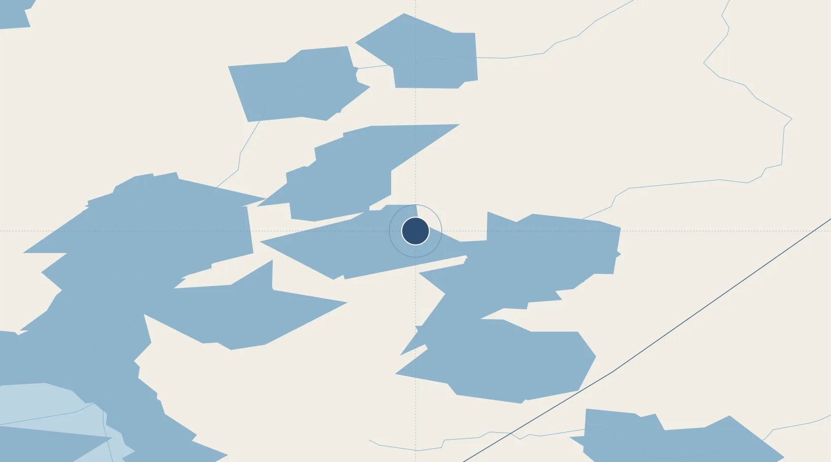
54.9333°, -95.2789°
3,828 ft
Longest runway
2
Runways
663 ft
Elevation
Runway & Layout

Navaids
4N NDB Oxford House 386 kHz
Runways · 2
| Runway | Dimensions | Surface | True heading | Lit |
|---|---|---|---|---|
| 04/22 | 3,828 × 75ft | CRUSHED ROCK | — | — |
| 05/23 | — | Unknown | — | — |
Airport Specifications
IATA code
YOH
ICAO code
CYOH
Airport class
Small airport
Scheduled service
Yes
Runway surface
CRUSHED ROCK
Served city
Oxford House
Location
Nearby Logistics Neighbours
Airports
- 1Gods Lake Narrows Airport66 km
- 2Gods River Airport78 km
- 3Gods Lake Airport101 km
- 4St. Theresa Point Airport124 km
- 5Ilford Airport126 km
Cities
- 1Island Lake125 km
- 2Split Lake155 km
- 3Ballyhahil369 km
- 4Churchill431 km
- 5Red Lake441 km
Ports
- 1Churchill433 km
- 2Thunder Bay837 km
- 3Grand Marais869 km
- 4Two Harbors916 km
- 5Heron Bay930 km
Trade Zones
- 1Winnipegs Centreport Canada574 km
- 2FTZ No. 259 Koochiching County743 km
- 3FTZ No. 103 Grand Forks791 km
- 4Global Transportation Hub Authority809 km
- 5FTZ No. 267 Fargo906 km
DatabookThe Record of Consolidated Knowledge
Canada beyond logistics?