Medium airport · Canada
Kelsey AirportCZEE
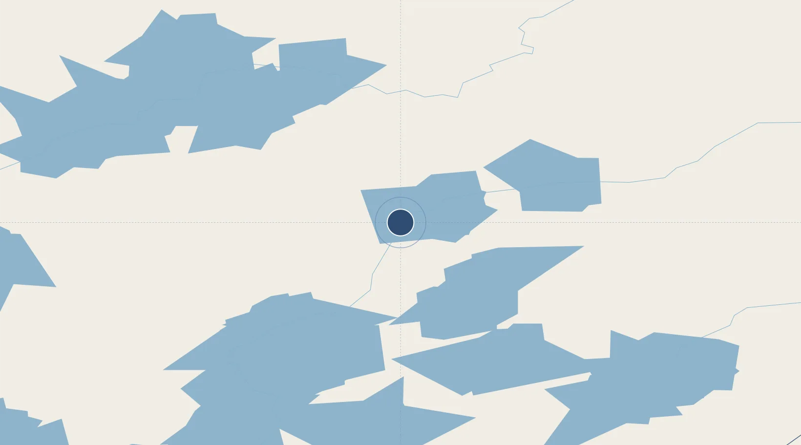
56.0375°, -96.5097°
2,590 ft
Longest runway
1
Runways
600 ft
Elevation
Runway & Layout

Navaids
4W NDB Kelsey 391 kHz
Runways · 1
| Runway | Dimensions | Surface | True heading | Lit |
|---|---|---|---|---|
| 12/30 | 2,590 × 75ft | GRAVEL | — | — |
Airport Specifications
IATA code
KES
ICAO code
CZEE
Airport class
Medium airport
Scheduled service
No
Runway surface
GRAVEL
Served city
Kelsey
Location
Nearby Logistics Neighbours
Airports
- 1Ilford Airport55 km
- 2Pikwitonei Airport65 km
- 3Thompson Airport88 km
- 4Thicket Portage Airport110 km
- 5Gillam Airport117 km
Cities
- 1Split Lake35 km
- 2Island Lake269 km
- 3Churchill334 km
- 4Ballyhahil425 km
- 5Pine River543 km
Ports
- 1Churchill335 km
- 2Thunder Bay982 km
- 3Grand Marais1013 km
- 4Two Harbors1057 km
- 5Heron Bay1072 km
Trade Zones
- 1Winnipegs Centreport Canada684 km
- 2Global Transportation Hub Authority828 km
- 3FTZ No. 259 Koochiching County876 km
- 4FTZ No. 103 Grand Forks904 km
- 5FTZ No. 267 Fargo1022 km
DatabookThe Record of Consolidated Knowledge
Canada beyond logistics?