UN/LOCODE hub · Canada
CAISL

Island Lake

53.8667°, -94.6667°
2
Transport functions

Transport Functions

Port
Road
UN/LOCODE

Hub Profile

Place type
Populated place
GeoNames
Region
Ontario
GeoNames
Time zone
America/Toronto
GeoNames
Elevation
324 m
GeoNames

Location

Location of CAISL
Natural Earth 10m (public domain) · Ontario · CAISL · 53.87, -94.67GoogleOSMYandex

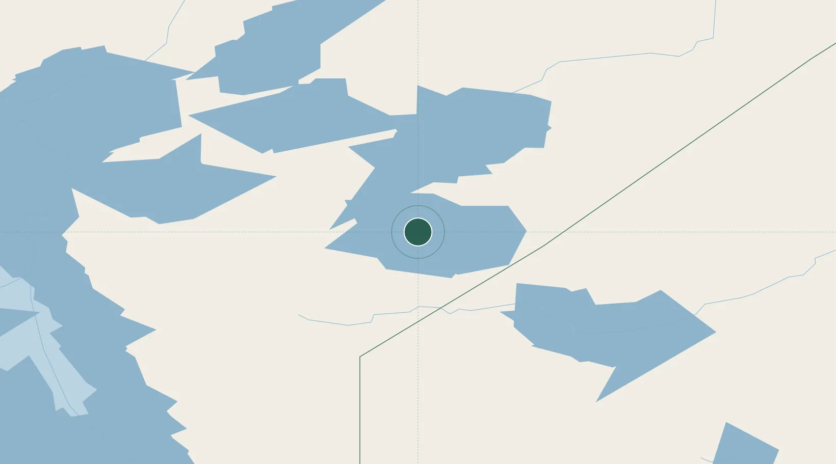
Nearby Logistics Neighbours

Cities
  1. 1Split Lake280 km
  2. 2Red Lake317 km
  3. 3Ballyhahil334 km
  4. 4Riverton358 km
  5. 5Arborg374 km
Nearest neighbours — logibook spatial index (haversine) over the source coordinates
Ports
  1. 1Churchill548 km
  2. 2Thunder Bay716 km
  3. 3Grand Marais745 km
  4. 4Two Harbors791 km
  5. 5Duluth810 km
Nearest neighbours — logibook spatial index (haversine) over the source coordinates
Airports
  1. 1Island Lake Airport1 km
  2. 2St. Theresa Point Airport12 km
  3. 3Gods Lake Narrows Airport78 km
  4. 4Red Sucker Lake Airport80 km
  5. 5Gods River Airport115 km
Nearest neighbours — logibook spatial index (haversine) over the source coordinates
Trade Zones
  1. 1Winnipegs Centreport Canada473 km
  2. 2FTZ No. 259 Koochiching County622 km
  3. 3FTZ No. 103 Grand Forks685 km
  4. 4Global Transportation Hub Authority785 km
  5. 5FTZ No. 267 Fargo797 km
Nearest neighbours — logibook spatial index (haversine) over the source coordinates
DatabookThe Record of Consolidated Knowledge
Canada beyond logistics?
Browse databook

All Sources

LocationsUN/LOCODE
UN/LOCODE — free
Portsthe NGA World Port Index
Public domain (US gov)
AirportsOurAirports
Public domain
Trade Zonesthe World Bank SEZ database
CC BY 4.0
Trade ZonesOpen Zone Map
CC BY
← Canada locations