Transport Functions
Multimodal
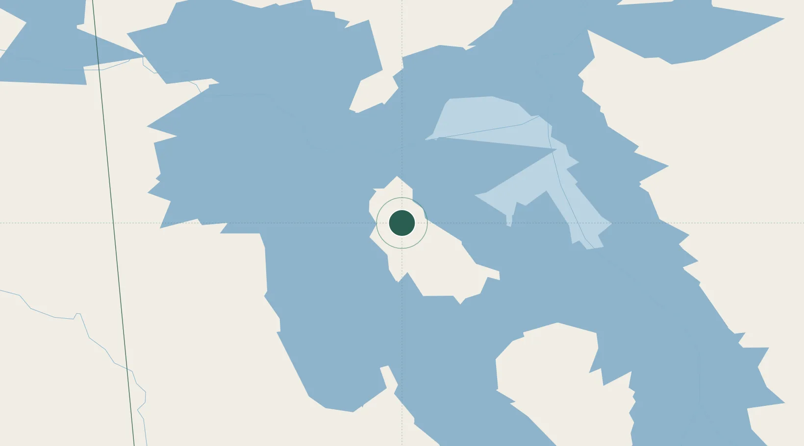
Hub Profile
Region
LK
Location
Nearby Logistics Neighbours
Cities
- 1Pine River127 km
- 2Roblin210 km
- 3Kelwood216 km
- 4Kamsack217 km
- 5Arborg230 km
Ports
- 1Churchill760 km
- 2Two Harbors818 km
- 3Duluth820 km
- 4Superior824 km
- 5Grand Marais825 km
Airports
- 1Swan River Airport147 km
- 2Berens River Airport148 km
- 3Dauphin Barker Airport172 km
- 4Norway House Airport180 km
- 5Bloodvein River Airport190 km
Trade Zones
- 1Winnipegs Centreport Canada328 km
- 2Global Transportation Hub Authority451 km
- 3FTZ No. 103 Grand Forks535 km
- 4FTZ No. 259 Koochiching County587 km
- 5FTZ No. 267 Fargo653 km
DatabookThe Record of Consolidated Knowledge
Ireland beyond logistics?