Medium airport · Canada
Pikwitonei AirportCZMN
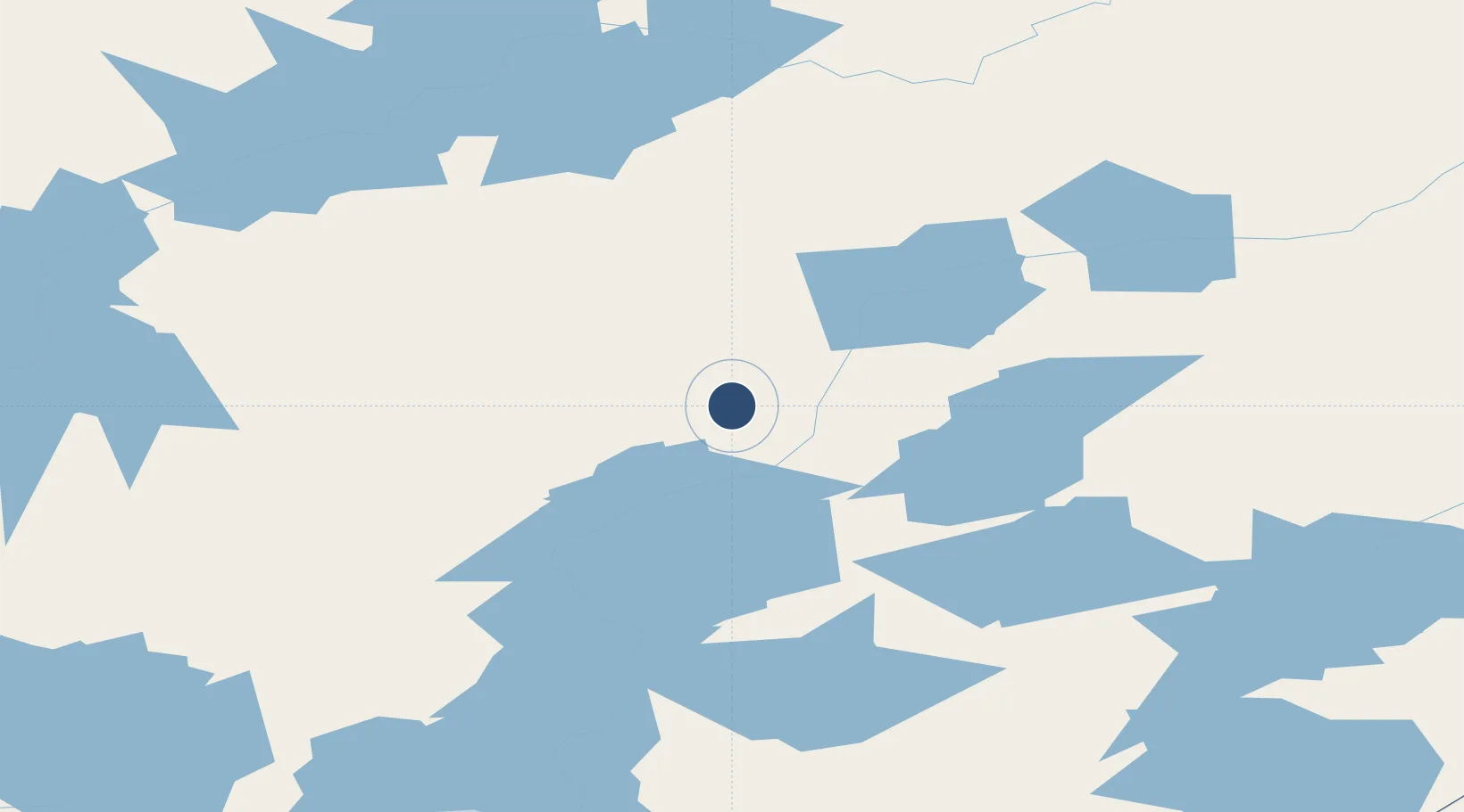
55.5889°, -97.1642°
2,200 ft
Longest runway
1
Runways
630 ft
Elevation
Runway & Layout

Runways · 1
| Runway | Dimensions | Surface | True heading | Lit |
|---|---|---|---|---|
| 05/23 | 2,200 × 75ft | CRUSHED ROCK | — | — |
Airport Specifications
IATA code
PIW
ICAO code
CZMN
Airport class
Medium airport
Scheduled service
No
Runway surface
CRUSHED ROCK
Served city
Pikwitonei
Location
Nearby Logistics Neighbours
Airports
- 1Thicket Portage Airport46 km
- 2Thompson Airport50 km
- 3Kelsey Airport65 km
- 4Ilford Airport109 km
- 5Cross Lake (Charlie Sinclair Memorial) Airport115 km
Cities
- 1Split Lake99 km
- 2Island Lake250 km
- 3Ballyhahil363 km
- 4Churchill396 km
- 5Pine River479 km
Ports
- 1Churchill398 km
- 2Thunder Bay965 km
- 3Grand Marais990 km
- 4Two Harbors1027 km
- 5Duluth1042 km
Trade Zones
- 1Winnipegs Centreport Canada633 km
- 2Global Transportation Hub Authority764 km
- 3FTZ No. 259 Koochiching County836 km
- 4FTZ No. 103 Grand Forks853 km
- 5FTZ No. 267 Fargo971 km
DatabookThe Record of Consolidated Knowledge
Canada beyond logistics?