Medium airport · Canada
Thompson AirportCYTH
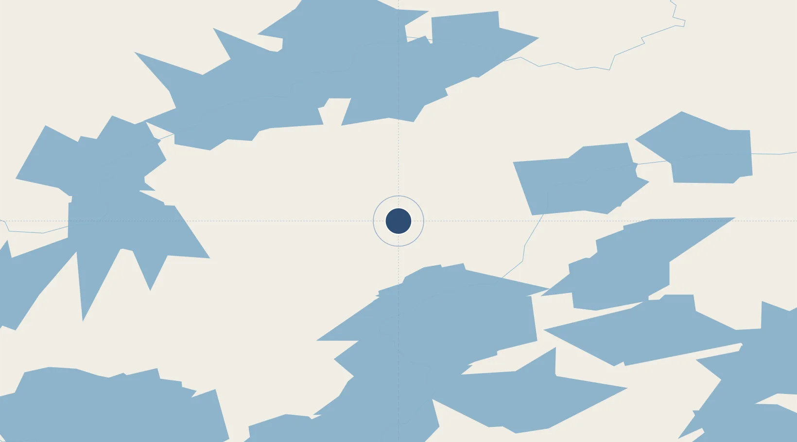
55.8011°, -97.8642°
5,800 ft
Longest runway
2
Runways
729 ft
Elevation
Runway & Layout

Radio Frequencies
ATIS
127.65 MHz
A/G
122.5 MHz
RDO
CNTR
133.15 MHz
WINNIPEG CNTR
INFO
123 MHz
RCO
123.15 MHz
WINNIPEG RCO
RDO
122.5 MHz
Navaids
TH NDB Thompson 244 kHz
YTH VOR-DME Thompson 112.90 MHz
ZTH NDB Headframe 276 kHz
ZZZ NDB Nicklebelt 203 kHz
Runways · 2
| Runway | Dimensions | Surface | True heading | Lit |
|---|---|---|---|---|
| 06/24 | 5,800 × 150ft | Asphalt | 061° | ✓ |
| 15/33 | 5,079 × 100ft | Gravel | 151° | ✓ |
Airport Specifications
IATA code
YTH
ICAO code
CYTH
Airport class
Medium airport
Scheduled service
Yes
Runway surface
Asphalt
Served city
Thompson
Location
Nearby Logistics Neighbours
Airports
- 1Pikwitonei Airport50 km
- 2Thicket Portage Airport55 km
- 3Kelsey Airport88 km
- 4South Indian Lake Airport128 km
- 5Cross Lake (Charlie Sinclair Memorial) Airport133 km
Cities
- 1Split Lake120 km
- 2Island Lake297 km
- 3Ballyhahil372 km
- 4Churchill397 km
- 5Pine River482 km
Ports
- 1Churchill398 km
- 2Thunder Bay1011 km
- 3Grand Marais1033 km
- 4Two Harbors1067 km
- 5Duluth1081 km
Trade Zones
- 1Winnipegs Centreport Canada659 km
- 2Global Transportation Hub Authority751 km
- 3FTZ No. 259 Koochiching County871 km
- 4FTZ No. 103 Grand Forks878 km
- 5FTZ No. 267 Fargo997 km
DatabookThe Record of Consolidated Knowledge
Canada beyond logistics?