Medium airport · Canada
Hornepayne Municipal AirportCYHN
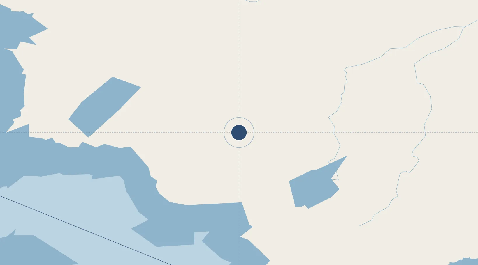
49.1931°, -84.7589°
3,500 ft
Longest runway
1
Runways
1,099 ft
Elevation
Runway & Layout

Radio Frequencies
UNIC
122.8 MHz
ATF/UNICOM
Runways · 1
| Runway | Dimensions | Surface | True heading | Lit |
|---|---|---|---|---|
| 07/25 | 3,500 × 75ft | Asphalt | 059° | ✓ |
Airport Specifications
IATA code
YHN
ICAO code
CYHN
Airport class
Medium airport
Scheduled service
No
Runway surface
Asphalt
Served city
Hornepayne
Location
Nearby Logistics Neighbours
Airports
- 1Manitouwadge Airport81 km
- 2Hearst René Fontaine Municipal Airport97 km
- 3Marathon Airport126 km
- 4Wawa Airport136 km
- 5Kapuskasing Airport168 km
Cities
- 1Moonbeam190 km
- 2Rossport205 km
- 3Wellington215 km
- 4Gulfport249 km
- 5Red Rock258 km
Ports
- 1Heron Bay129 km
- 2Michipicoten137 km
- 3Goulais Bay274 km
- 4Sault Ste Marie299 km
- 5Sault Ste Marie301 km
Trade Zones
- 1FTZ No. 016 Sault Ste. Marie302 km
- 2FTZ No. 167 Brown County591 km
- 3FTZ No. 189 Kent Ottawa/Muskegon Counties673 km
- 4FTZ No. 019 Omaha673 km
- 5FTZ No. 284 Genesee County691 km
DatabookThe Record of Consolidated Knowledge
Canada beyond logistics?