Medium airport · Canada
Wawa AirportCYXZ
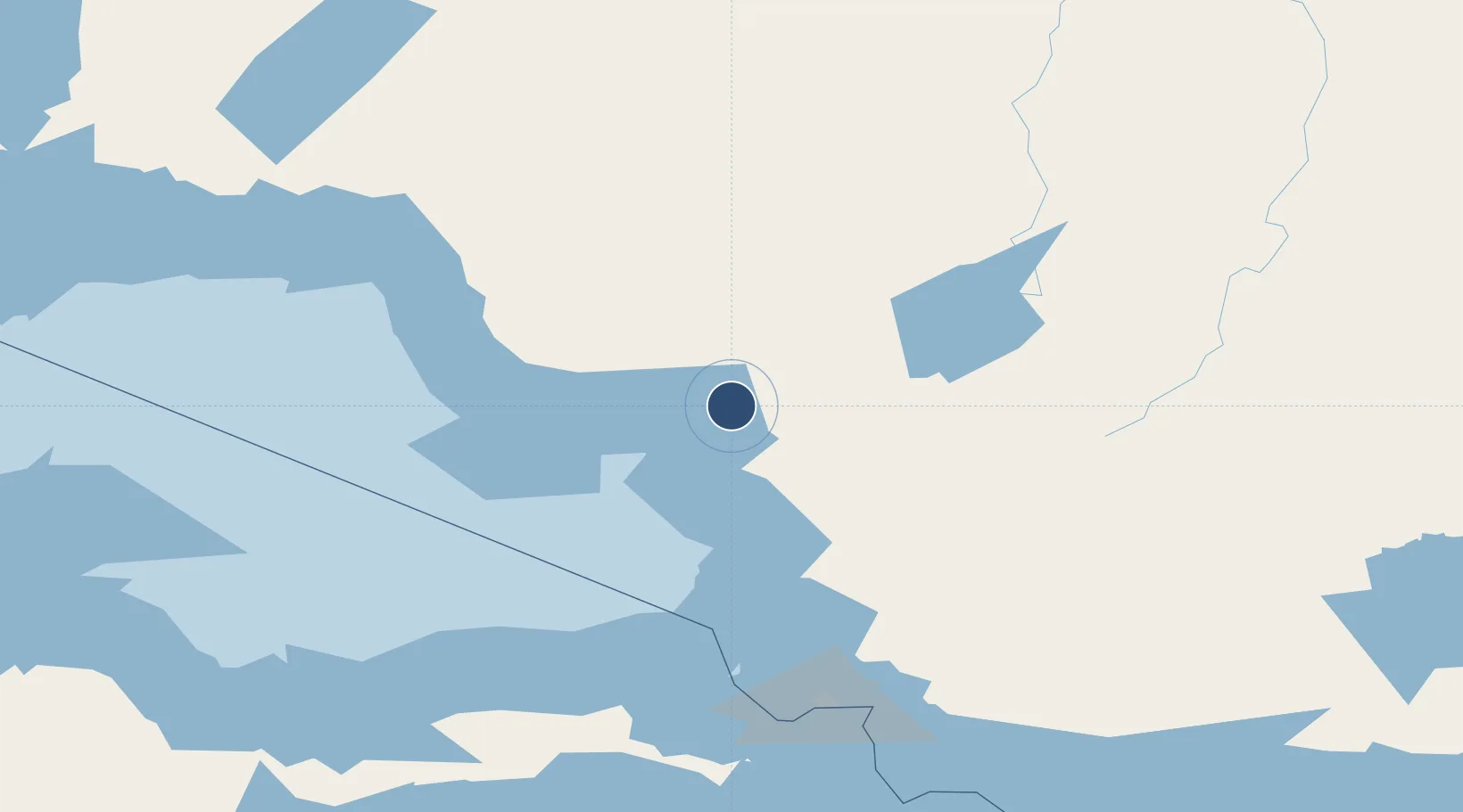
47.9667°, -84.7867°
4,429 ft
Longest runway
1
Runways
942 ft
Elevation
Runway & Layout

Radio Frequencies
CNTR
124.075 MHz
TORONTO CNTR
RCO
126.7 MHz
LONDON RDO
UNIC
122.8 MHz
ATF/UNICOM
Navaids
XZ NDB Wawa 205 kHz
YXZ VOR-DME Wawa 112.70 MHz
Runways · 1
| Runway | Dimensions | Surface | True heading | Lit |
|---|---|---|---|---|
| 03/21 | 4,429 × 100ft | Asphalt | 024° | ✓ |
Airport Specifications
IATA code
YXZ
ICAO code
CYXZ
Airport class
Medium airport
Scheduled service
No
Runway surface
Asphalt
Served city
Wawa
Location
Nearby Logistics Neighbours
Airports
- 1Chapleau Airport109 km
- 2Hornepayne Municipal Airport136 km
- 3Marathon Airport145 km
- 4Manitouwadge Airport147 km
- 5Sault Ste Marie Airport166 km
Cities
- 1Goulais River143 km
- 2Gulfport168 km
- 3Echo Bay174 km
- 4Brimley175 km
- 5Kinross190 km
Ports
- 1Michipicoten8 km
- 2Heron Bay136 km
- 3Goulais Bay139 km
- 4Sault Ste Marie165 km
- 5Sault Ste Marie166 km
Trade Zones
- 1FTZ No. 016 Sault Ste. Marie167 km
- 2FTZ No. 167 Brown County474 km
- 3FTZ No. 189 Kent Ottawa/Muskegon Counties539 km
- 4FTZ No. 019 Omaha541 km
- 5FTZ No. 284 Genesee County556 km
DatabookThe Record of Consolidated Knowledge
Canada beyond logistics?